Drone-based inspection for civil and military airfields: PAPI, approach and runway lighting, with pavement and obstacle inspection in development. One crew, one visit, regulatory-grade reports the same day. Start from an inspection template. An approach descent, a fly-over, a surface scan or a MEHT check are a few, and the list keeps growing to cover virtually anything your airfield needs. Safety zones and no-fly areas load from the airport profile. The local field hub sends the mission to the drone over the airfield network and pulls the captured media back the same way. No manual copying, no internet needed. The drone flies the planned mission with RTK centimeter positioning, whether that's a PAPI approach, a surface scan or a fly-over, capturing every measurement the report needs in a single pass. Measurements checked against the tolerances that apply to your airfield, backed by photogrammetric evidence and more, generated the same day and ready for the authority. The measurements your civil aviation authority asks for, captured in a single site visit and traceable to the centimeter. Plan waypoint missions on an interactive map, in 2D and full 3D terrain, and export them as KMZ or WPML straight to DJI controllers. Keep the height and position of cranes, masts, trees and terrain near the runway in one register, and check whether any of them break into the approach surface aircraft need. Surface scan, fly-over, approach descent, MEHT check, parameterized, versioned, auditable. Your whole airport lives in the platform: every runway, taxiway, obstacle, antenna and restricted volume. Missions are generated to fly it collision-free by default, and you can tune the trajectory to how you want it flown. A local hub sends missions to the drone and pulls the captured media back automatically over the airfield network. No cards to carry, no cables to swap, no internet required. Every report is a regulatory-grade digital record: raw measurements, RTK tracks, photogrammetric verification and the clauses they satisfy, built for your airfield type and the authority you answer to, whether ICAO, EASA or FAA. Your authority sees the method, not just the verdict. Airports get compliant inspections without closures. Certified drone operators get a new service line through the partner program.Every light measured. Nothing closed.
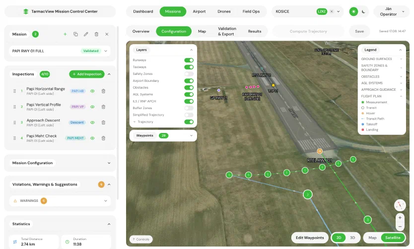
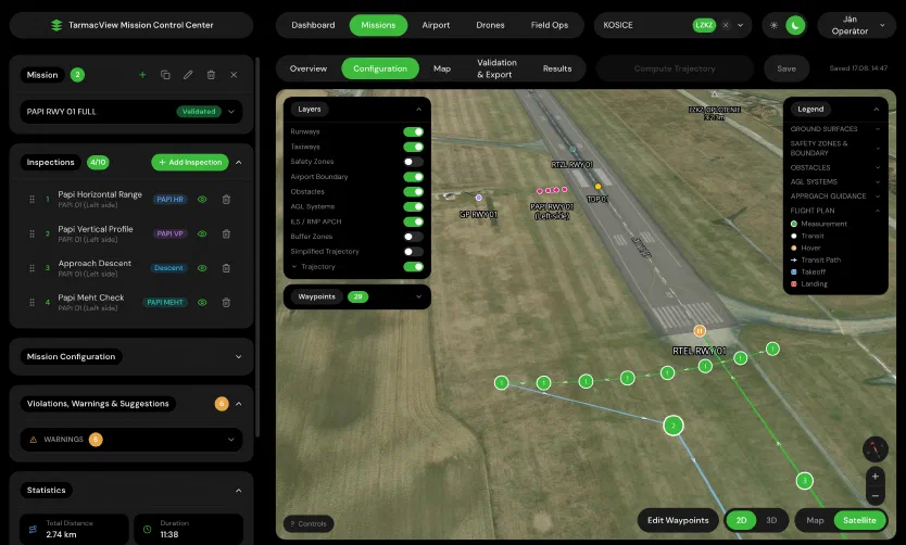
One crew, one drone, no runway closure
How an inspection worksPlan the mission
Dispatch to the field
Fly the mission
Sign the report
Calibration the regulator can sign off
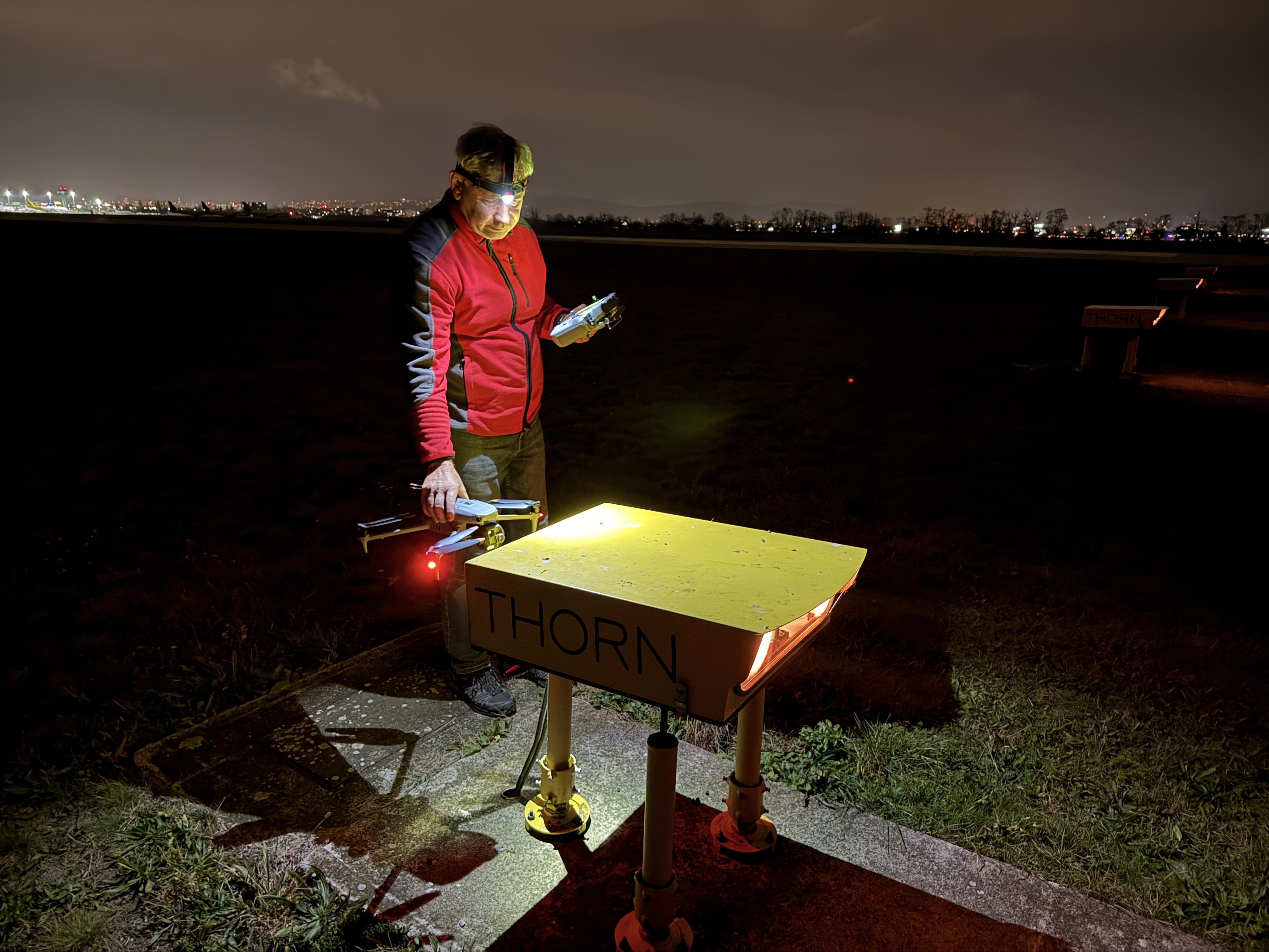
More than PAPI: the whole airfield, one platform
Platform scope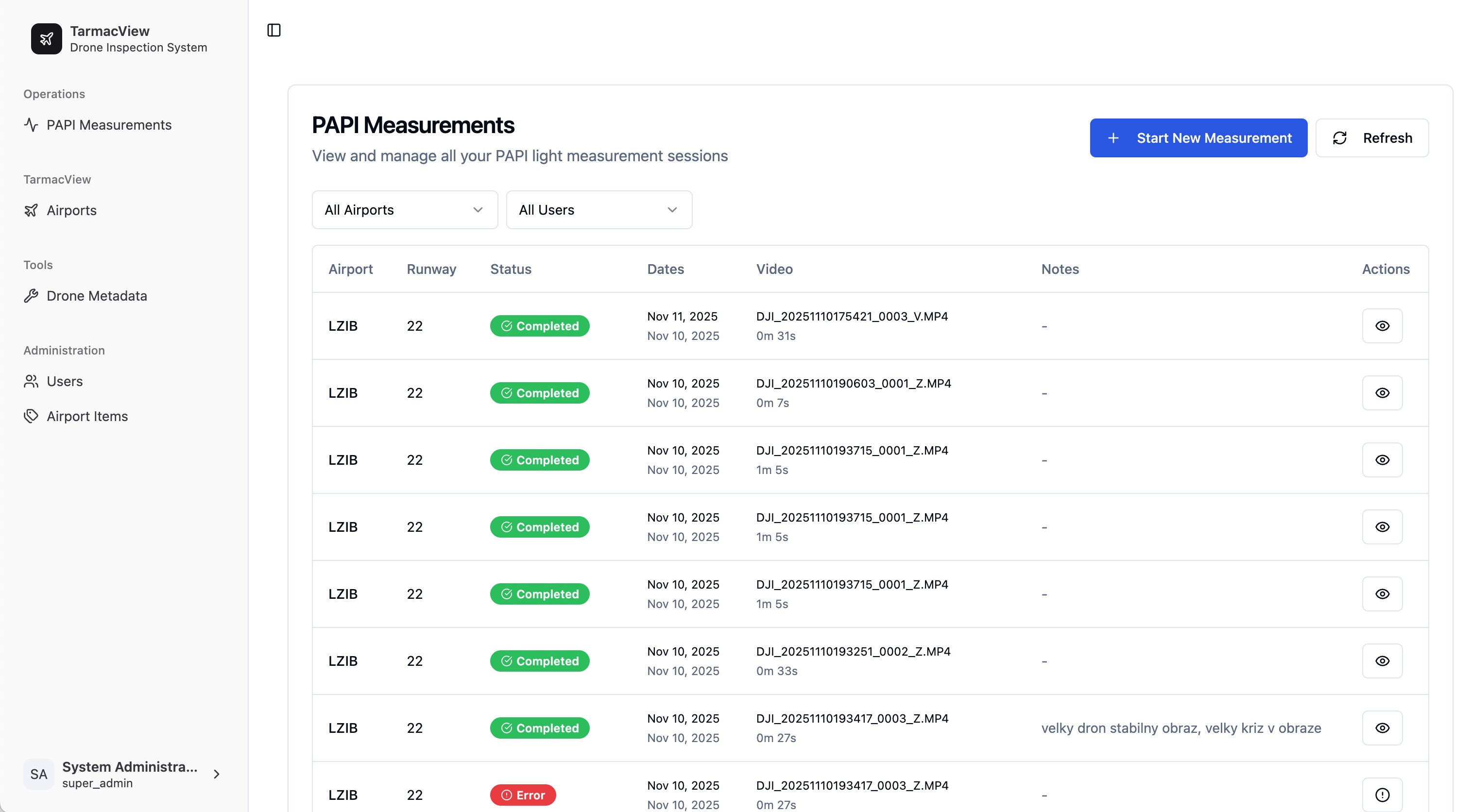
Mission planning
Know what's in the way
Repeatable by design
Collision-free by design
Offline where it counts
Evidence, not estimates
Built for both sides of the runway