glossary
Drone Flight Planning
Drone flight planning for infrastructure inspection involves designing automated flight paths (waypoint missions) with appropriate altitude, speed,…
NOV 18 2025
25 MIN
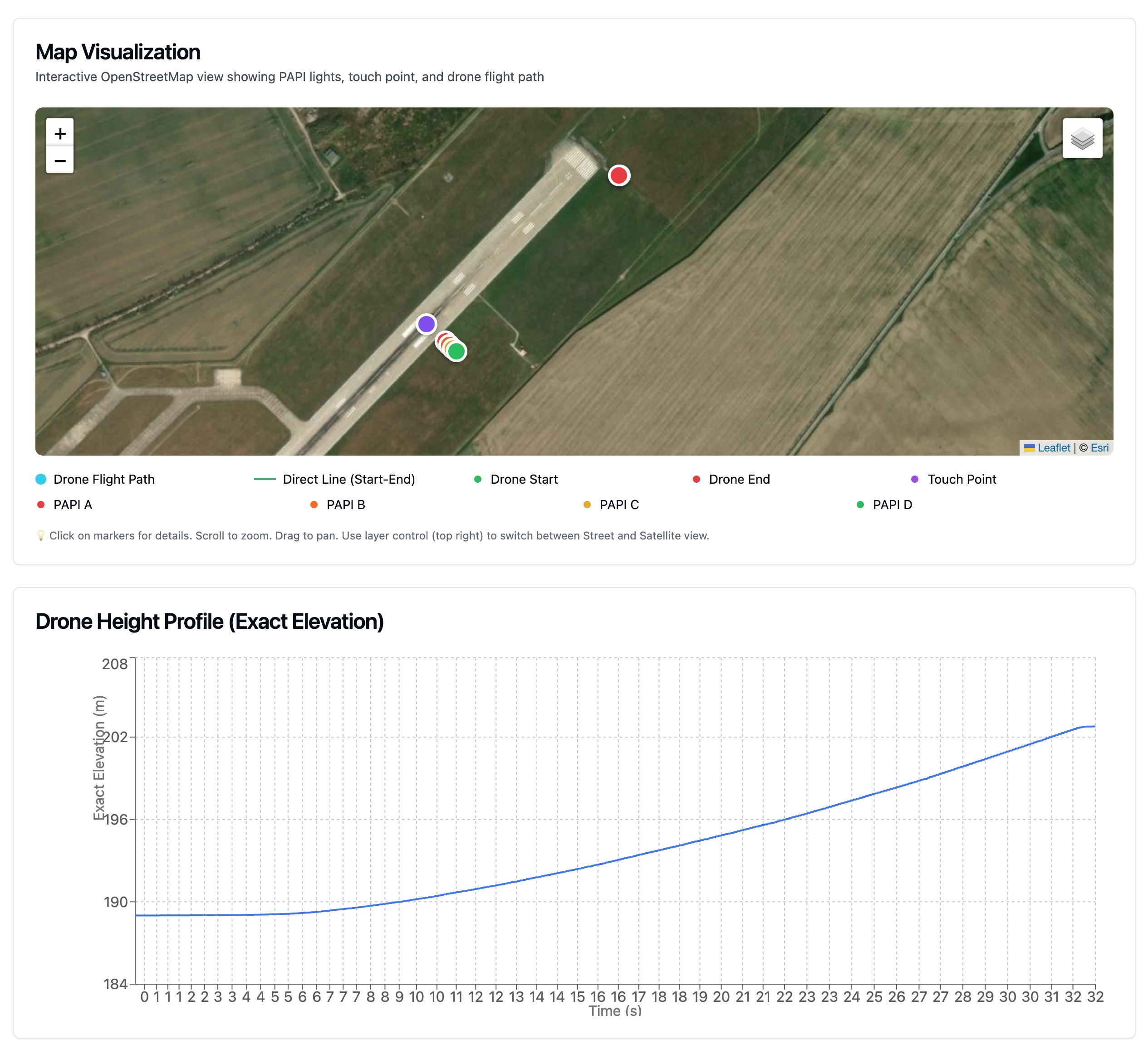
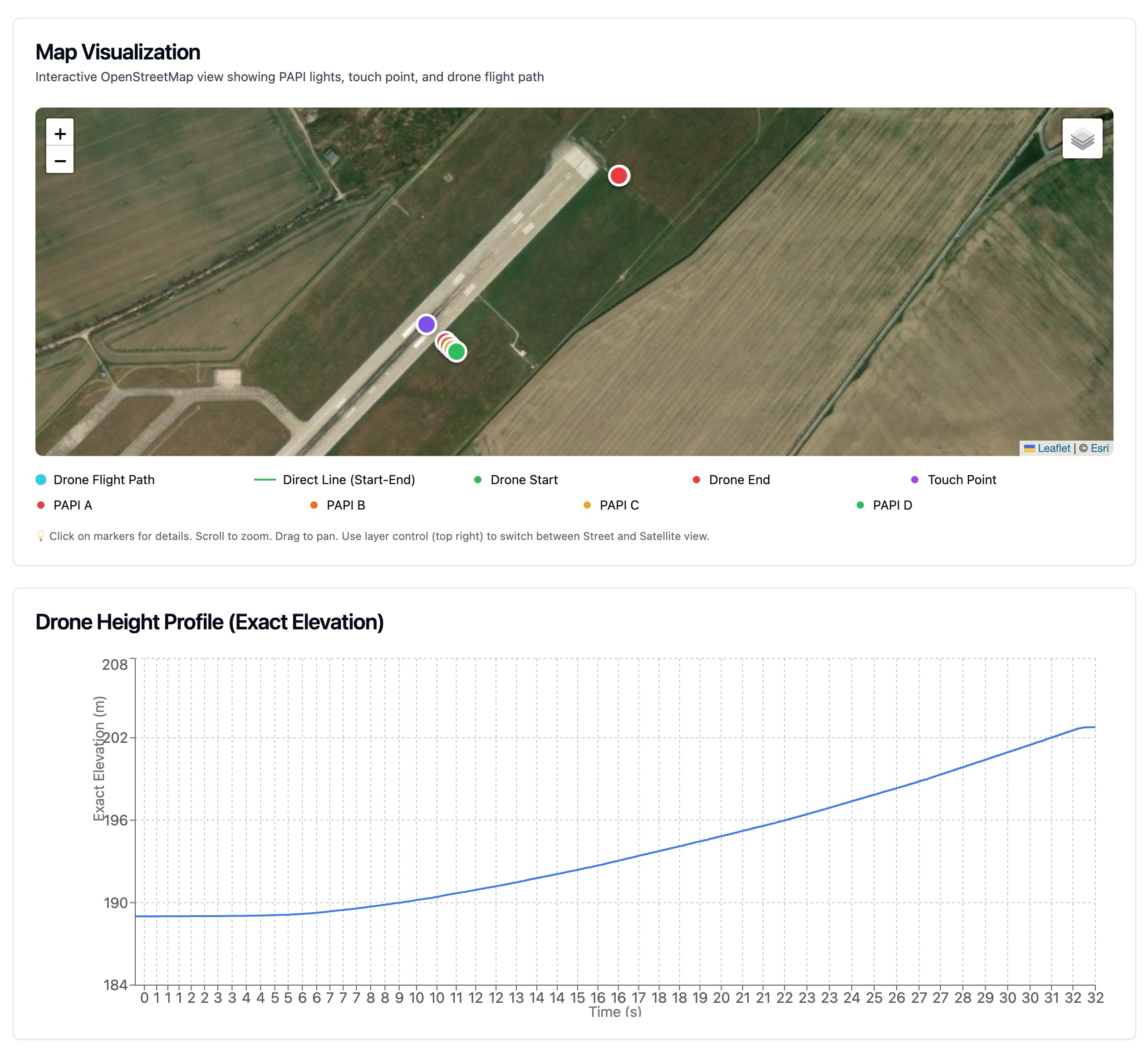
Eliminate pilot error with fully automated flight plans. Our software generates the perfect approach path for every runway, ensuring consistent, repeatable data collection.
Precision Navigation
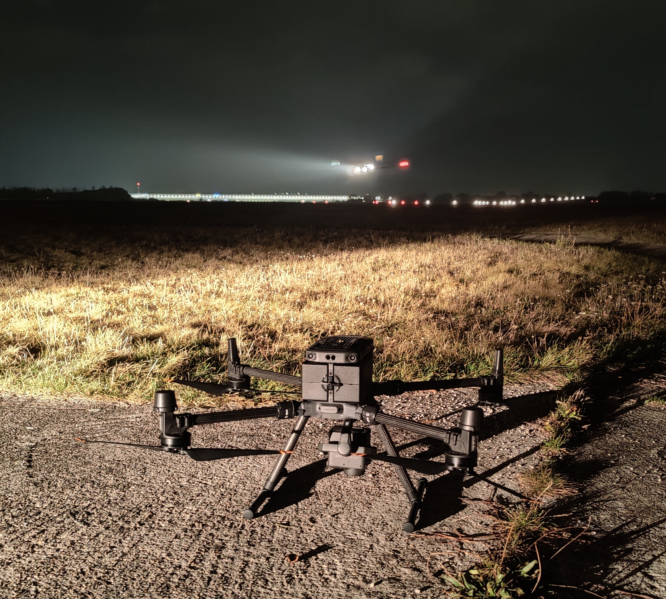
The system leverages Real-Time Kinematic (RTK) GNSS to position the drone with centimeter-level precision. This ensures that the camera sensor is exactly where it needs to be, simulating the pilot's eye view on the glide path.
How planning works
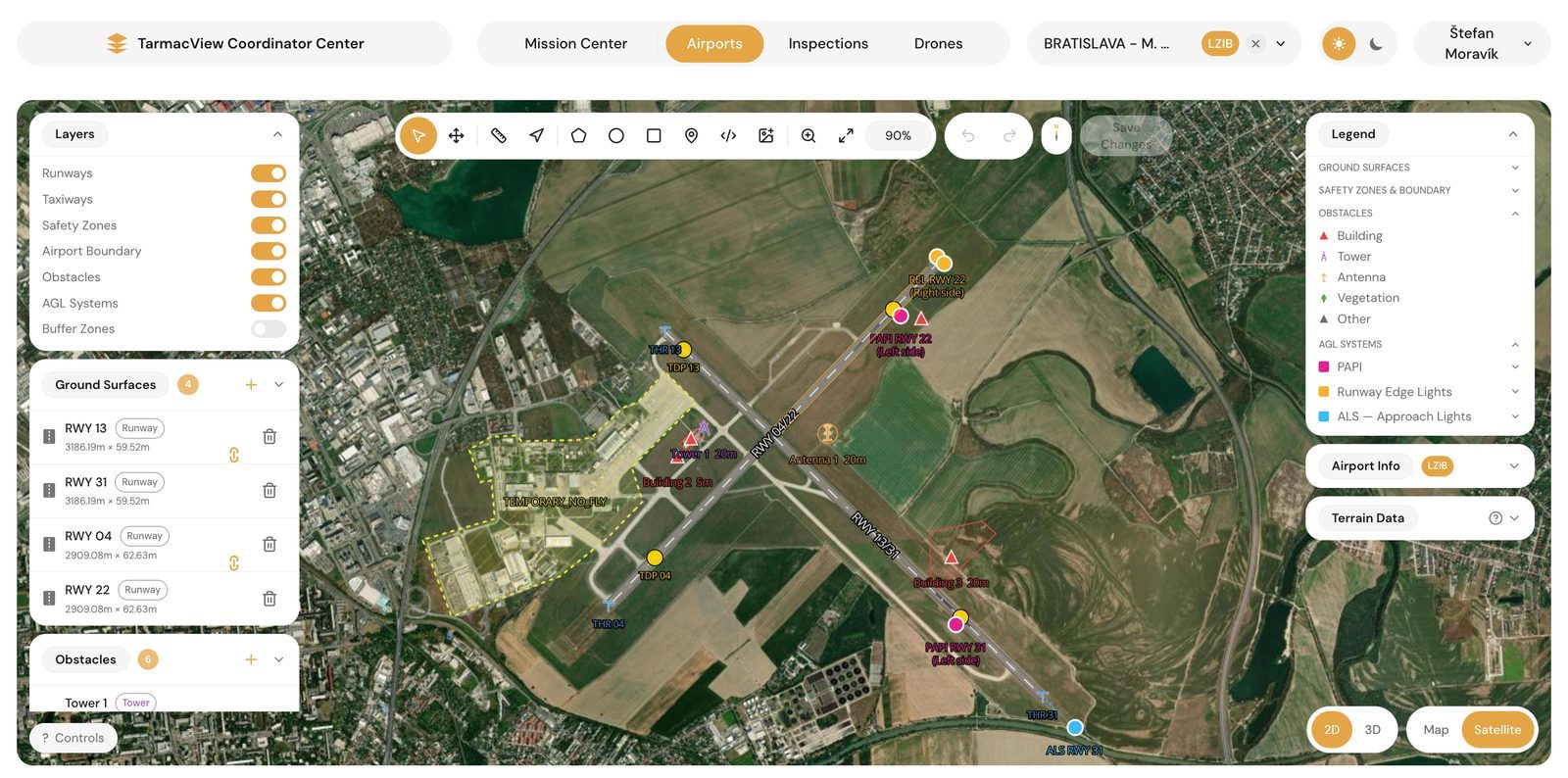
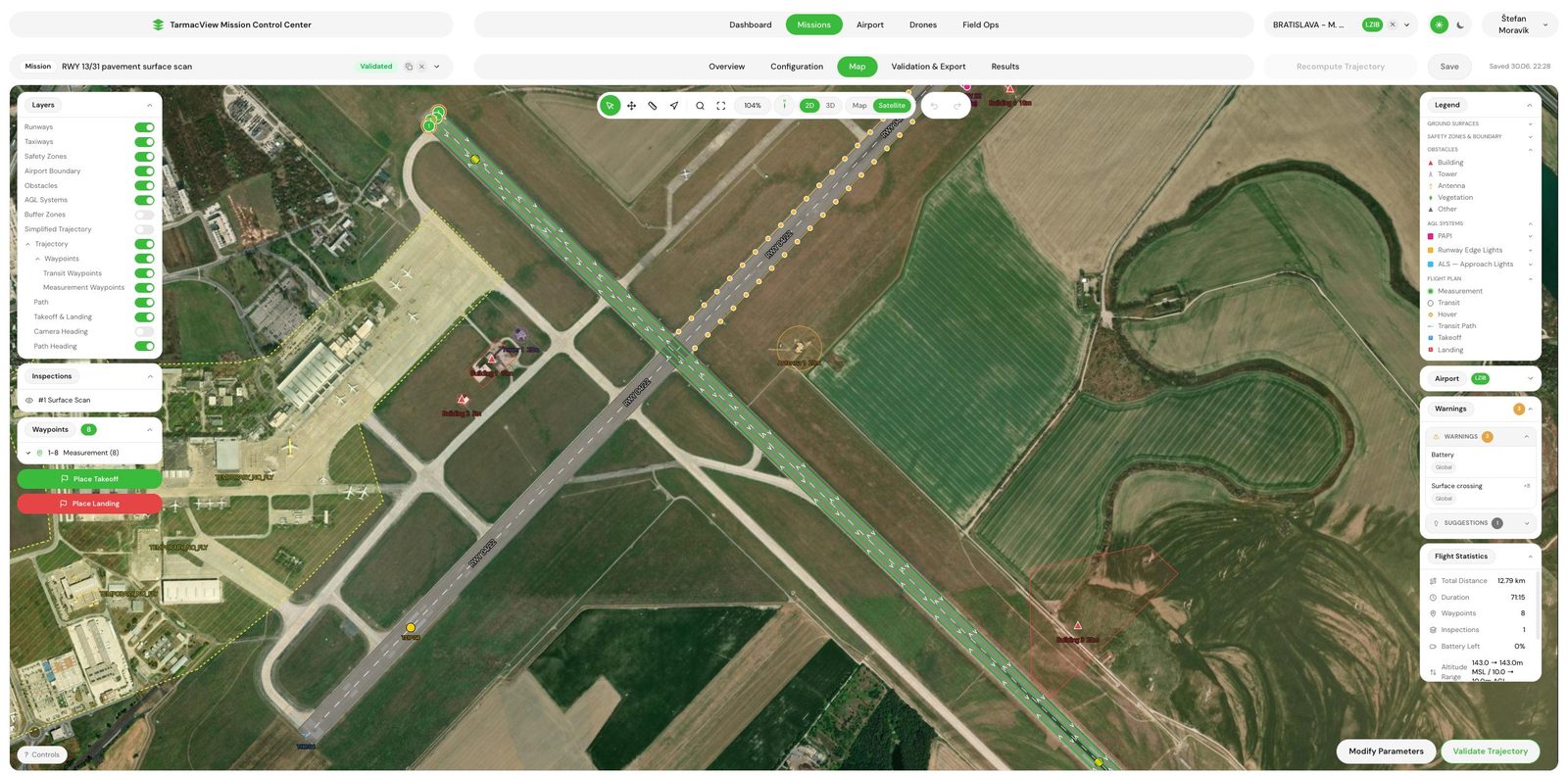
Mission planning here does not start on a blank map. Your whole airport is held as one georeferenced 3D model, and every trajectory is generated against it, so planning becomes solving for the right path, not drawing one by hand.
Visualisation
Lay out and review missions on an interactive map and in full 3D terrain. See the flight path, sensor footprint and each capture point before the drone leaves the ground, and edit any waypoint by hand when you want to.
Approach descent, fly-over, surface scan, MEHT check, obstacle survey, lighting inspections and more. Save any mission as a template, rerun it the same way every time, and keep every run versioned and auditable.
Fly the glide path an aircraft would, capturing each unit on slope.
Cover a runway, taxiway or apron along a defined corridor.
Grid a pavement area for photogrammetry and condition survey.
Verify minimum eye height over threshold for the approach.
Measure height and position against the protected surfaces on approach.
Approach, runway and taxiway lighting, beyond PAPI alone.
From plan to drone without the cloud.
Missions export straight to KMZ and WPML for DJI Pilot 2.
The local field hub sends missions to the drone and pulls captured media back automatically over the airfield network.
Everything on the airfield runs on the local network, no internet needed.
Best results on DJI Enterprise drones
Full support for M300 RTK, M350 RTK and the Matrice 4 series (4D, 4E, 4T). Recommended for guaranteed results.
Supported via SDK, though measurement quality is guaranteed only on DJI Enterprise.
Support for specialized sensor integrations via SDK.
We are building network of partners to revolutionize airport maintenance with cutting-edge technology.
Drone flight planning for infrastructure inspection involves designing automated flight paths (waypoint missions) with appropriate altitude, speed,…
Technical explanation of our computer vision pipeline and accuracy metrics
Runway and taxiway pavement scan by drone at a known ground resolution, in active development. The platform already plans flights and georeferences…