What is an approach path in aviation?
Approach Path – Three-Dimensional Flight Path Followed During Approach to Landing (Aviation Operations)
Definition
An approach path in aviation is the three-dimensional (3D) flight trajectory that an aircraft follows during the approach phase to landing. This path is meticulously defined both laterally (side-to-side, or horizontally) and vertically (altitude), ensuring the aircraft remains aligned with the intended runway centerline and descends along a pre-determined glide path or vertical profile. The 3D approach path is essential for instrument flight operations, particularly under conditions where pilots cannot rely on visual cues and must depend on avionics and ground or satellite-based navigation aids to guarantee a safe, stable approach and landing (ICAO PANS-OPS Doc 8168 ).
Key Features:
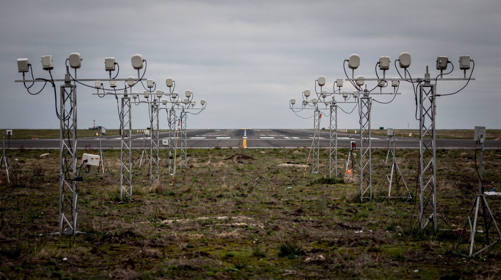
- Lateral Guidance: Keeps the aircraft aligned with the runway or published approach course, using aids such as ILS localizers, VORs, GNSS, or MLS azimuth signals.
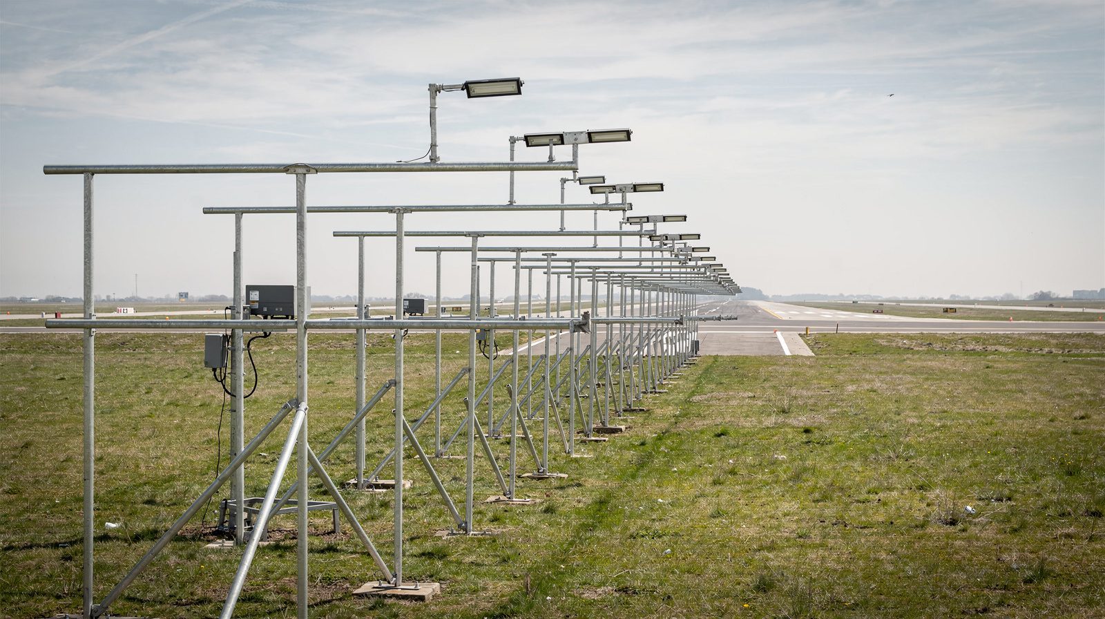
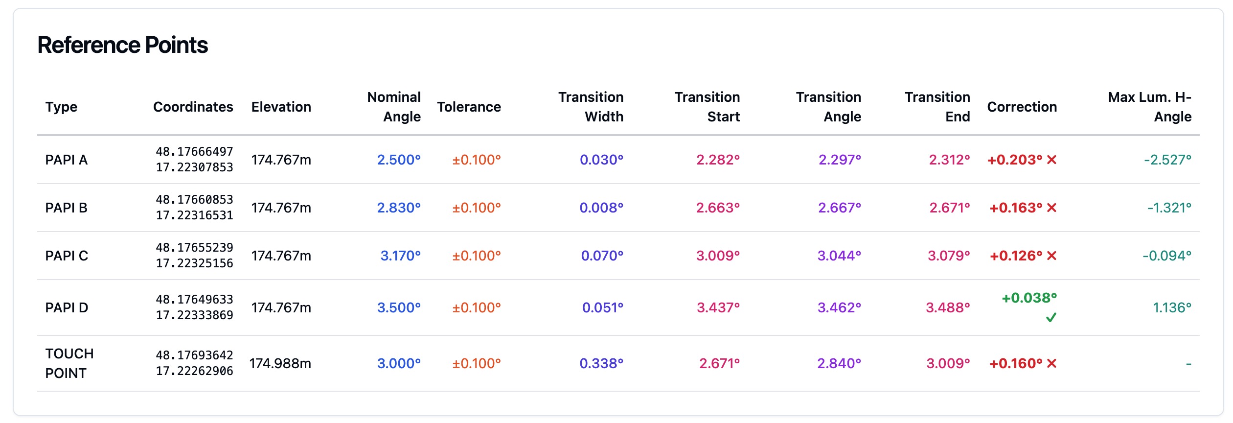
- Vertical Guidance: Ensures descent along a defined glide path (typically 3°), using systems like ILS glide slope, barometric VNAV, MLS elevation data, or GNSS-derived profiles.
- Operational Context: Used for both instrument and visual approaches, but is fundamental for instrument approaches in low-visibility or complex environments.
2D vs. 3D Approach Path: Summary Table
| Feature | 2D Approach Path | 3D Approach Path |
|---|---|---|
| Lateral Guidance | Yes | Yes |
| Vertical Guidance | No (pilot managed) | Yes (electronic or computed glide path) |
| Typical Navigation | VOR, NDB, LOC | ILS, GBAS, GNSS (LPV, LNAV/VNAV), MLS |
| Examples | VOR Approach | ILS, LPV, RNP AR Approach |
Historical Evolution of Approach Path Guidance
Early Navigation (NDB, VOR)
- NDB (Non-Directional Beacon): Provided the first radio-based lateral guidance, but lacked vertical information, pilots relied on charts and visual cues.
- VOR (VHF Omnidirectional Range): Improved lateral accuracy, still required pilot-managed descent (Centennial of Flight ).
Precision Approaches (ILS)
- ILS (Instrument Landing System): Introduced full lateral (localizer) and vertical (glide slope) guidance, enabling precision approaches in low visibility (Wikipedia - ILS ). Enabled autoland capabilities for the first time.
Advanced Systems (MLS, GNSS, PBN)
- MLS (Microwave Landing System): Offered digital lateral and vertical guidance with flexible approach paths, but saw limited adoption.
- GNSS and Augmentation: Satellite navigation and augmentation (WAAS, GBAS, SBAS) enabled flexible, highly accurate 3D approaches at more airports, including those lacking traditional ground aids.
- PBN/RNP: ICAO’s Performance-Based Navigation framework supports customizable, precise 3D approach paths, even in challenging terrain or airspace (ICAO PBN ).
| Era | Key Technology | Lateral Guidance | Vertical Guidance | Notes |
|---|---|---|---|---|
| 1920s-1940s | NDB, Visual | Yes | No | Early navigation, high workload |
| 1940s-1970s | VOR, DME | Yes | No | Improved accuracy |
| 1930s-now | ILS | Yes | Yes | Precision, global standard |
| 1970s-2000s | MLS | Yes | Yes | Digital, flexible, limited use |
| 1990s-now | GNSS, PBN, RNP | Yes | Yes (APV, LPV) | Satellite-based, customizable |
2D vs. 3D Approaches: Regulatory and Technical Classifications
ICAO and FAA Definitions
ICAO:
- 2D Approach: Lateral guidance only (VOR, NDB, LOC). Descent managed by pilot using step-down fixes.
- 3D Approach: Both lateral and vertical guidance (ILS, MLS, GNSS-based with VNAV). Aircraft descends on a defined geometric path (ICAO Doc 8168 ).
FAA:
- Precision Approach (PA): Full lateral and vertical guidance (ILS, GBAS, MLS).
- Non-Precision Approach (NPA): Lateral guidance only (VOR, NDB, LOC).
- Approach with Vertical Guidance (APV): Satellite/barometric vertical guidance, not meeting all PA standards (e.g., LPV, LNAV/VNAV).
| Classification | 2D Approach | 3D Approach (Type A) | 3D Approach (Type B) |
|---|---|---|---|
| ICAO | VOR, NDB, LOC | LPV, LNAV/VNAV | ILS, MLS, GBAS CAT I-III |
| FAA | NPA | APV | PA |
| Vertical Guide | No | Yes (not full PA) | Yes (full PA) |
| Minimums | MDH ≥ 75m | DH ≥ 75m | DH < 75m |
Anatomy of a 3D Approach Path
Approach Segments
- Arrival Segment: Transition from enroute to approach environment, often via STAR.
- Initial Approach Segment: Aligns aircraft for approach, allows configuration for descent.
- Intermediate Segment: Establishes aircraft on final approach course and configuration.
- Final Approach Segment: From FAF to runway or missed approach point, 3D guidance ensures stabilized descent.
- Missed Approach Segment: Safe path to climb out if landing cannot be completed.
Guidance Systems
| System | Lateral Guidance | Vertical Guidance | Example Approaches |
|---|---|---|---|
| ILS | Localizer | Glide Slope | ILS CAT I/II/III |
| MLS | Azimuth | Elevation | MLS Approach |
| GBAS | GNSS + VDB | GNSS + VDB | GBAS CAT I-III |
| GNSS (APV) | RNAV (GNSS) | VNAV (Baro/SBAS) | LPV, LNAV/VNAV |
| VOR/NDB | VOR/NDB | None | Non-Precision |
Decision Points and Minima
- Decision Altitude/Height (DA/DH): Minimum at which pilot must have visual reference to land or execute missed approach. DA is above mean sea level, DH is above runway threshold.
- Minimum Descent Altitude/Height (MDA/MDH): For 2D approaches, the lowest allowed descent without visual reference, pilot levels off until either visual cues or missed approach (Boldmethod ).
Technical Principles of 3D Trajectory Planning and Control
Modern flight management systems and autopilots use sophisticated algorithms to compute, monitor, and adjust the 3D approach path, ensuring smooth transitions between segments and navigation sources. Key technical aspects include:
- Path Redefinition Algorithms: Continuously update the aircraft’s predicted trajectory based on active navigation aids, wind, and aircraft performance.
- Autopilot Transition and Smoothing: Manage changes between navigation sources (e.g., switching from RNAV to ILS) and approach segments, maintaining stable flight.
- Energy Management and Error Correction: Use speed brakes, thrust, and pitch adjustments to maintain the correct descent profile, correcting for errors due to wind, temperature, or navigation inaccuracies.
Real-World Applications and Use Cases
Precision Approaches
- ILS, GBAS, MLS: Enable landings in poor visibility (down to zero/low RVR in CAT III), reduce pilot workload, and improve safety.
- Performance-Based Navigation (PBN): Allow for flexible, efficient routes even in complex or terrain-challenged environments (ICAO PBN ).
Satellite-Based Approaches
- RNP, GNSS Approaches: Enable 3D approaches at airports lacking traditional ground aids, improving global access, especially for smaller airfields.
Emergency and Special Scenarios
- Engine-out Approaches: Require precise path planning to ensure obstacle clearance and safe landing.
- Noise Abatement/Environmental: Curved and segmented 3D paths reduce noise over populated areas.
Comparison Table: Approach Types & Guidance Dimensions
| Approach Type | Lateral Guidance | Vertical Guidance | Navigation Aid(s) | Example |
|---|---|---|---|---|
| Non-Precision (2D) | Yes | No | VOR, NDB, LOC | VOR/DME |
| APV (3D, not full PA) | Yes | Yes (not PA) | GNSS (LPV, LNAV/VNAV) | LPV |
| Precision (PA, 3D) | Yes | Yes (full PA) | ILS, GBAS, MLS | ILS CAT II |
Glossary of Related Terms
- ILS (Instrument Landing System): Ground-based system providing precise lateral and vertical guidance for landing.
- Localizer (LOC): ILS component providing lateral alignment to runway.
- Glide Slope (GS): ILS component providing vertical descent path.
- VNAV (Vertical Navigation): Avionics function managing vertical flight profile.
- PBN (Performance-Based Navigation): ICAO framework for flexible, accurate navigation using GNSS.
- RNP (Required Navigation Performance): PBN specification defining accuracy and integrity for approach paths.
- LPV (Localizer Performance with Vertical Guidance): GNSS-based approach with precision-like minima.
- DA/DH (Decision Altitude/Height): Published minimum for approach continuation decision.
- MDA/MDH (Minimum Descent Altitude/Height): Lowest altitude for non-precision approaches.
References and Further Reading
Frequently Asked Questions
- What is the difference between a 2D and 3D approach path in aviation?
- A 2D approach path provides only lateral guidance, meaning the aircraft is aligned horizontally with the runway or approach course, but the vertical descent profile is managed by the pilot. A 3D approach path provides both lateral and vertical guidance, allowing the aircraft to follow a precise glide path to the runway, typically using systems like ILS, GBAS, or GNSS-based vertical navigation.
- Which navigation aids are used to define 3D approach paths?
- 3D approach paths use navigation aids that provide both lateral and vertical guidance. Common examples include the Instrument Landing System (ILS), Ground-Based Augmentation System (GBAS), Microwave Landing System (MLS), and satellite-based navigation with approaches like LPV or LNAV/VNAV, which use GNSS and augmentation systems such as WAAS or SBAS.
- How are approach path minima determined?
- Minima for an approach path are published limits (such as Decision Altitude/Height or Minimum Descent Altitude/Height) at which the pilot must decide whether to continue the approach or execute a missed approach. These are based on obstacle clearance requirements, approach type, and the capabilities of navigation aids, as defined by international standards from ICAO and FAA.
- Why are 3D approach paths important for aviation safety?
- 3D approach paths reduce pilot workload, minimize the risk of controlled flight into terrain (CFIT), and provide stabilized descents, especially in poor visibility. They are critical in instrument meteorological conditions (IMC) and at airports with challenging terrain or limited visual cues.
- What are the typical segments of a standard instrument approach procedure?
- A standard instrument approach procedure consists of the arrival segment, initial approach segment, intermediate approach segment, final approach segment, and missed approach segment. Each serves a specific purpose, from transitioning the aircraft from enroute airspace to lining up with the runway and providing a safe escape in case a landing cannot be completed.
This is a reference entry. TarmacView provides drone inspection services and doesn't sell the equipment or materials described in this glossary.