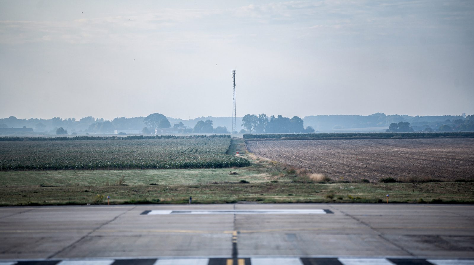
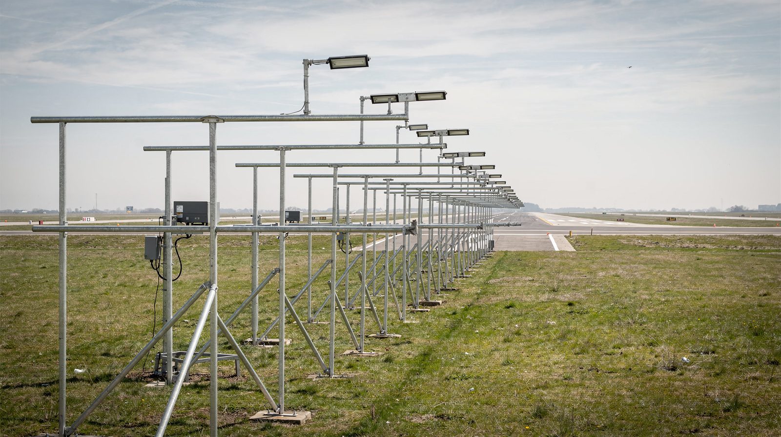
What is Airport Perimeter and Boundary?
Airport Perimeter and Boundary – Comprehensive Glossary
Introduction
Airports are complex ecosystems where safety, security, and regulatory compliance converge. Two foundational concepts, airport perimeter and airport boundary, anchor how airports are designed, secured, operated, and expanded. Understanding these terms is crucial for aviation professionals, planners, regulatory bodies, and anyone engaged in airport operations or development.
Airport Perimeter
The airport perimeter refers to the continuous, physical barrier that encloses all operational zones of an airport. Most commonly manifested as a chain-link security fence topped with barbed wire or razor ribbon, this perimeter is much more than a fence, it marks the critical transition from public (landside) to restricted (airside) zones.
Key Functions
- Physical Security: Prevents unauthorized access to runways, taxiways, and aprons.
- Wildlife Exclusion: Deters animals that could threaten aircraft operations.
- Operational Boundary: Defines where only credentialed personnel and vehicles may operate.
- Emergency Access: Perimeter roads provide rapid access for ARFF (Aircraft Rescue and Fire Fighting), security patrols, and maintenance crews.
- Planning and Documentation: Its alignment is integral to the Airport Layout Plan (ALP) and airport master planning.
Regulatory Standards
- FAA: Minimum fence height (8–10 feet), anti-climb features, robust foundation, and often surveillance or intrusion detection systems (see AC 150/5300-13B).
- TSA: Requires secure perimeters at commercial airports with defined access gates and security protocols (49 CFR Part 1542).
- ICAO: International airports must comply with ICAO Annex 14 and Annex 17.
Perimeter Design and Components
- Fences: Chain-link, anti-climb, integrated with security systems.
- Gates: Secured for vehicles, personnel, and emergency access, monitored with badge readers, cameras, and sometimes biometric systems.
- Perimeter Roads: All-weather, 12–15 feet wide, for patrols and emergency vehicles.
- Surveillance: CCTV, motion sensors, ground radar, and intrusion detection.
- Signage and Markers: Indicate security zones, access limits, and emergency exits.
Note: The perimeter may not always coincide with the legal property boundary due to terrain, easements, or future expansion needs.
Airport Boundary
The airport boundary is the officially defined outer legal limit of airport property, recorded in deeds and depicted on the ALP.
Key Functions
- Legal Jurisdiction: Establishes the extent of land under airport control, including operational areas and land reserved for future use, environmental mitigation, or buffer zones.
- Regulatory Compliance: Forms the basis for airspace protection, obstruction evaluation, and zoning overlays (e.g., for noise or height restrictions).
- Land Use Control: Governs acquisition, development, leasing, and environmental stewardship.
- Operational Reference: Used by ATC for reporting points, and by planners for siting facilities and infrastructure.
Regulatory Standards
- FAA: ALP must accurately depict the boundary (AC 150/5070-6B).
- 14 CFR Part 77: Boundary is the origin for measuring surfaces used in airspace obstruction evaluation.
- Local/State: Used in establishing zoning overlays and compatible land use controls.
- ICAO: Required for certification and operational planning.
Note: The boundary often extends beyond the operational perimeter to encompass land for future expansion, navigation aids, or environmental purposes.
Regulatory Context & Definitions
Airport perimeters and boundaries are shaped by a web of federal, state, local, and international standards.
| Term | Definition | Source/Standard |
|---|---|---|
| Airport Boundary | Legal property limit of the airport, depicted on ALP | FAA AC 150/5070-6B, 14 CFR Part 77 |
| Airport Perimeter | Physical manifestation (e.g., fence) enclosing operational areas | FAA AC 150/5300-13B, TSA 1542 |
| Perimeter Fence | Security barrier along or near the airport boundary | FAA AC 150/5300-13B, TSA 1542 |
| AOA (Air Operations Area) | Airside area inside perimeter fence, subject to specific operational and security controls | FAA AC 150/5300-13B, 49 CFR 1540/1542 |
| SIDA | Security Identification Display Area, within the perimeter, requiring special credentials | TSA 1542 |
Physical Characteristics of Airport Perimeters
Perimeter Fence

- Standard Height: 8–10 feet.
- Anti-Climb: Barbed wire, razor ribbon, outward-angled outriggers.
- Footings: Deep enough to prevent burrowing and withstand weather.
- Surveillance Integration: Cameras, motion detectors, and sometimes ground radar.
- Wildlife Control: Designed to exclude animals.
Gates and Access Points
- Types: Vehicle, personnel, emergency, and aircraft towing.
- Security: Badge readers, cameras, anti-ram bollards, and biometric systems.
- Monitoring: All gate operations are logged and monitored in real time.
Perimeter Roads
- Purpose: Patrol, emergency response, and fence inspection.
- Design: All-weather, unobstructed, and capable of supporting fire/rescue vehicles.
Markers and Signage
- Function: Indicate legal property points, security zones, and access limits.
- Requirements: Durable and tamper-resistant according to ICAO/FAA standards.
Functional and Operational Significance
- Security: The perimeter is the primary defense against unauthorized access, terrorism, theft, and wildlife hazards.
- Operations: ATC uses the boundary as a reference for pilot instructions and movement area definitions.
- Airspace Protection: The boundary is the origin for airspace protection surfaces (Part 77).
- Planning: All development and zoning decisions reference the legal boundary for setbacks and land use compliance.
- Emergency Response: Perimeter roads and gates are critical for ARFF and police access.
Air Operations Area (AOA) & Security Identification Display Area (SIDA)
- AOA: The secure area inside the perimeter fence used for aircraft operations, servicing, and maintenance.
- SIDA: A stricter security zone within or overlapping the AOA, requiring all personnel to display credentials and undergo heightened security checks.
Both are delineated on airport maps and marked with signage, lighting, and barriers. Access is tightly regulated, and each area is subject to different regulatory and operational controls.
Planning and Design Criteria
- ALP Accuracy: Both perimeter and boundary must be clearly depicted and kept up to date.
- Fence Standards: Height, anti-climb features, surveillance, and maintenance per FAA/ICAO/TSA standards.
- Perimeter Roads: Designed for 24/7 all-weather access and emergency response.
- Setbacks: Required for facility siting, navigational aid protection, and safety.
- Construction Notification: All projects near the boundary must be submitted to the FAA (Form 7460-1) for obstruction evaluation.
Technology Integration: GIS and BIM platforms are used for boundary/perimeter management, supporting asset management, emergency response, and expansion planning.
Security and Access Control

- Continuous Patrolling: By security staff and/or electronic systems.
- Intrusion Detection: Real-time alerts for breaches.
- Lighting and Cameras: Enhance deterrence and situational awareness.
- Credentialing: Strict procedures for access, revocation, and audits.
- Security Drills: Regular assessments and improvements.
Airspace and Obstruction Management
- Imaginary Surfaces: Defined from the boundary to protect flight paths.
- Obstruction Evaluation: Any tall structure or alteration near the boundary must be evaluated for flight safety.
- Regulatory References: FAA Part 77, ICAO Annex 14.
Land Use, Zoning, and Facility Planning
- Zoning Overlays: Restrict incompatible uses and building heights around the boundary.
- Setbacks: Required for new construction to ensure safety and future flexibility.
- Lease Management: All property agreements reference the legal boundary.
- Environmental Compliance: Noise, wildlife, and environmental mitigation plans are tied to the boundary.
Real-World Applications & Use Cases
Air Traffic Control Reporting
ATC may instruct, “report at the airport boundary,” using the perimeter/fence as a clear operational reference.
Security Management
Credentialed access is required for all personnel and vehicles crossing the perimeter. Security logs and surveillance are maintained for all entry/exit points.
Emergency Response
Perimeter roads and access gates provide rapid routes for ARFF and law enforcement to respond to incidents anywhere on airport property.
Planning & Expansion
All new developments, from terminals to maintenance hangars, must consider both boundary and perimeter for siting, zoning compliance, and future growth.
Wildlife Management
Perimeter fences and patrols help prevent wildlife incursions that could endanger aircraft.
Conclusion
The airport perimeter and airport boundary are not merely lines on a map or physical fences, they are foundational to airport security, operations, regulatory compliance, and long-term planning. Their careful definition and management ensure the safety of air travel, protect surrounding communities, and enable airports to adapt and grow in a regulated, secure, and efficient manner.
For more on airport security and planning solutions, contact us or schedule a demo .
References:
- FAA Advisory Circulars (AC 150/5300-13B, AC 150/5070-6B)
- TSA 49 CFR Part 1542
- 14 CFR Part 77
- ICAO Annex 14 and Annex 17
- Port Authority of New York & New Jersey Planning Guidelines

Frequently Asked Questions
- What is the difference between an airport perimeter and an airport boundary?
- The airport perimeter is the physical security barrier (usually a fence) that encloses operational zones and separates secure (airside) from public (landside) areas. The airport boundary is the official legal property limit of the airport as shown on the Airport Layout Plan (ALP), which may extend beyond the physical fence to include land reserved for future expansion, noise buffers, or environmental mitigation.
- Why are airport perimeters and boundaries important?
- They are critical for physical security, regulatory compliance, planning, and safe airport operations. The perimeter prevents unauthorized access and wildlife intrusion, while the boundary defines the legal jurisdiction for land use, zoning, and protection of airspace.
- What are the regulatory standards for airport perimeters?
- In the U.S., the FAA (AC 150/5300-13B) and TSA (49 CFR Part 1542) set minimum standards for fence height, anti-climb features, surveillance, and access control. Internationally, ICAO Annex 14 and Annex 17 prescribe similar requirements for security and wildlife hazard management.
- How is the airport boundary used in airspace protection?
- The boundary is the point of origin for imaginary surfaces defined in 14 CFR Part 77, which are used to evaluate potential obstructions and ensure the safety of navigable airspace around the airport.
- What are AOA and SIDA, and how do they relate to the perimeter?
- The Air Operations Area (AOA) is all secure airside space inside the perimeter, encompassing runways, taxiways, aprons, and support areas. The Security Identification Display Area (SIDA) is a security zone, often overlapping with or within the AOA, where all personnel must display credentials and adhere to heightened security protocols.
This is a reference entry. TarmacView provides drone inspection services and doesn't sell the equipment or materials described in this glossary.