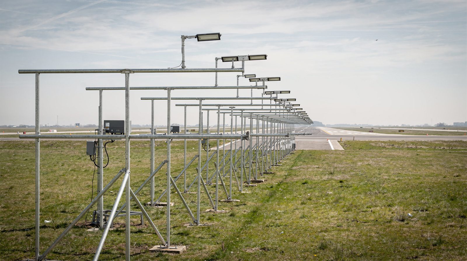
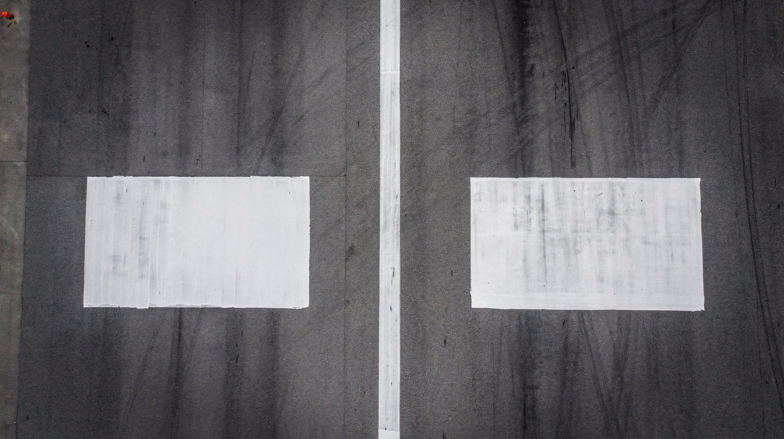
What is Runway Visual Range (RVR)?
Runway Visual Range (RVR): The Distance a Pilot Can See Runway Markings
1. What is Runway Visual Range (RVR)?
Runway Visual Range (RVR) is the maximum distance along a runway, measured by specialized instruments, at which a pilot on the centerline can see runway surface markings or runway lights under current weather and lighting conditions. Expressed in meters or feet, RVR is the most operationally significant visibility measurement in aviation, especially under low-visibility situations like fog, heavy snow, or rain.
RVR is not a general or subjective estimate, it is derived from real-time readings by transmissometers or forward scatter sensors at specific points on the runway. These readings directly affect whether a takeoff, landing, or approach can be legally and safely conducted.
2. Technical Context and Terminology
Key RVR Locations
- Touchdown Zone (TDZ): Near the runway threshold (first 300 meters/1,000 feet), where aircraft first touch down. TDZ RVR is usually the controlling value for approach clearance.
- Midpoint (MID): Center of the runway, providing a reading for the middle section.
- Rollout End (RO): Near the departure (far) end, important for rollout after landing or aborted takeoff.
Measuring Principles
- Meteorological Optical Range (MOR): The scientific basis for RVR, MOR is the distance over which a light beam is reduced to 5% of its original intensity by atmospheric conditions.
- Transmissometer: Measures the extinction of a light beam between a projector and a receiver set a fixed distance apart, calculating MOR, which is then adjusted for runway lighting.
- Forward Scatter Sensor: Measures scattered light from particles to estimate visibility, often used in modern installations.
Lighting and Environmental Terms
- High Intensity Runway Lights (HIRL): Edge and centerline lights that make runways visible during low visibility and factor into RVR calculations.
- Ambient Luminance: Natural background light, which affects how well runway lights can be seen, especially at night or in twilight.
3. Why RVR Matters in Aviation Operations
RVR is the definitive visibility parameter for flight operations during poor weather. Unlike general visibility, which can be subjective and broad, RVR provides:
- Objective, real-time data relevant to the exact position and heading of the aircraft.
- Legal and operational thresholds for approach, landing, and takeoff, as set by ICAO, FAA, and other national authorities.
- Safety assurance: Ensures pilots have sufficient visual cues to safely land or take off, preventing dangerous misjudgments during critical flight phases.
If RVR drops below the published minimum for a given approach or takeoff, operations must be delayed or diverted, protecting passengers, crew, and aircraft.
4. How RVR is Measured
Instrumentation
Transmissometers
A transmissometer system uses a light source (projector) and a receiver, set 50–100 meters apart, to measure the extinction of light caused by fog, rain, or other particles. The result is a direct measurement of MOR, which is then factored with current runway lighting to yield RVR.
Forward Scatter Sensors
Forward scatter sensors measure the amount of light scattered by particles at a fixed angle. These are simpler to install and maintain, and are increasingly common, although they may be less precise in certain types of fog or precipitation.
Sensor Placement
- TDZ: ~300 meters from threshold, at pilot eye-level.
- MID: Center of runway.
- RO: Near departure end.
- Sensors are typically 2.5–4 meters above the surface and within 120 meters of the centerline.
Influencing Factors
- Weather: Fog, snow, rain, smoke all decrease RVR.
- Lighting: Higher runway light intensity increases RVR at night.
- Ambient Light: Twilight or night can make lights more effective.
- Calibration: Sensors must be kept clean and properly aligned.
5. RVR Reporting and Coding
In METAR Reports
RVR is reported in METARs when visibility is ≤1,600 meters or RVR for any runway is ≤1,800 meters. The format is:
R[runway][L/C/R]/[value][U/D/V][FT/M]
- R09/1200FT: RVR of 1,200 feet for Runway 09
- R18L/1800V2400FT: RVR variable between 1,800 and 2,400 feet
- R36/M0600FT: Less than 600 feet
Reading Increments
- Up to 1,000 ft: 100-ft increments
- 1,000–3,000 ft: 200-ft increments
- 3,000–6,000 ft: 500-ft increments
Modifiers:
- M: Below minimum
- P: Above maximum
- V: Variable
- U/D: Upward/Downward trend
6. Regulatory Standards and Minimums
ICAO & FAA
- ICAO Annex 3: RVR is controlling for instrument procedures at equipped runways.
- FAA FAR 91.175: RVR supersedes general visibility for approach legality.
Approach Category Minima
| Category | Decision Height | TDZ RVR | MID RVR | RO RVR |
|---|---|---|---|---|
| CAT I | 200 ft | 550 m | – | – |
| CAT II | 100 ft | 350 m | 350 m | – |
| CAT IIIa | <100 ft/none | 200 m | 125 m | 75 m |
| CAT IIIb | <50 ft/none | 75 m | 75 m | 75 m |
| CAT IIIc | 0 ft | none | none | none |
Actual minima depend on aircraft, airport, and crew approvals.
Operator and Aircraft Specifics
Lower minima may be permitted with advanced avionics, certified crews, and operator procedures. General aviation usually has higher minimums due to less advanced equipment.
7. Operational Use Cases and Scenarios
Instrument Approaches
Pilots must confirm RVR at or above charted minima before descending below decision altitude. If RVR falls below minimums, landing or takeoff is not permitted.
Takeoff and Landing
Takeoff is prohibited below stated RVR minima. RVR is also used to trigger low-visibility procedures at airports, affecting runway use, taxi routing, and ground operations.
8. Importance and Future Trends
RVR remains essential for safe, efficient air travel, especially as airports and airlines strive for maximum capacity in all weather. Advances in sensor technology, networked reporting, and integration with automated air traffic management systems will further enhance RVR’s role.
9. Summary
RVR is the aviation industry’s gold standard for runway visibility, directly supporting safe approaches, landings, and takeoffs under challenging weather conditions. Its objectivity, precision, and real-time nature make it indispensable in modern flight operations.
Related Terms
- ILS (Instrument Landing System)
- Low-Visibility Procedures (LVP)
- METAR
- Transmissometer
- Forward Scatter Sensor
- High Intensity Runway Lights (HIRL)
Further Reading
- ICAO Annex 3: Meteorological Service for International Air Navigation
- FAA Advisory Circular 150/5220-17
- EASA CS-ADR-DSN
- WMO Guide to Meteorological Instruments and Methods of Observation
If you have more questions about RVR systems, airport weather compliance, or need expert guidance on low-visibility operations, contact us today.
Frequently Asked Questions
- How is RVR different from general visibility?
- RVR is a precise, instrument-based measurement taken at specific runway locations, reflecting the actual distance a pilot can see runway markings or lights. General visibility, often reported by observers, refers to the overall transparency of the atmosphere and may not accurately represent what a pilot would experience at runway level during critical flight operations.
- Where is RVR measured on the runway?
- RVR is typically measured at three key points: the touchdown zone (TDZ), the midpoint (MID), and the rollout end (RO) of the runway. These locations provide detailed visibility data relevant to the most critical phases of landing and takeoff.
- How is RVR reported in METARs?
- RVR appears in METARs with the format R[runway]/[value][U/D/V][FT/M]. For example, R18L/1800V2400FT means the RVR for runway 18L is variable between 1,800 and 2,400 feet. Trend indicators (U for upward, D for downward, V for variable) show recent changes in visibility.
- What factors affect RVR readings?
- RVR is affected by meteorological conditions (fog, rain, snow, haze), runway lighting intensity, ambient luminance, and the cleanliness and calibration of the sensors. Real-time algorithms account for these factors to ensure accurate reporting.
- Why is RVR critical for flight operations?
- RVR dictates whether pilots and air traffic controllers can legally and safely conduct takeoffs or landings during low-visibility. It is a primary safety parameter for instrument approaches and is mandated by ICAO and FAA for regulated flight operations.
This is a reference entry. TarmacView provides drone inspection services and doesn't sell the equipment or materials described in this glossary.