products
PAPI Lights Inspection and Calibration Check by Drone
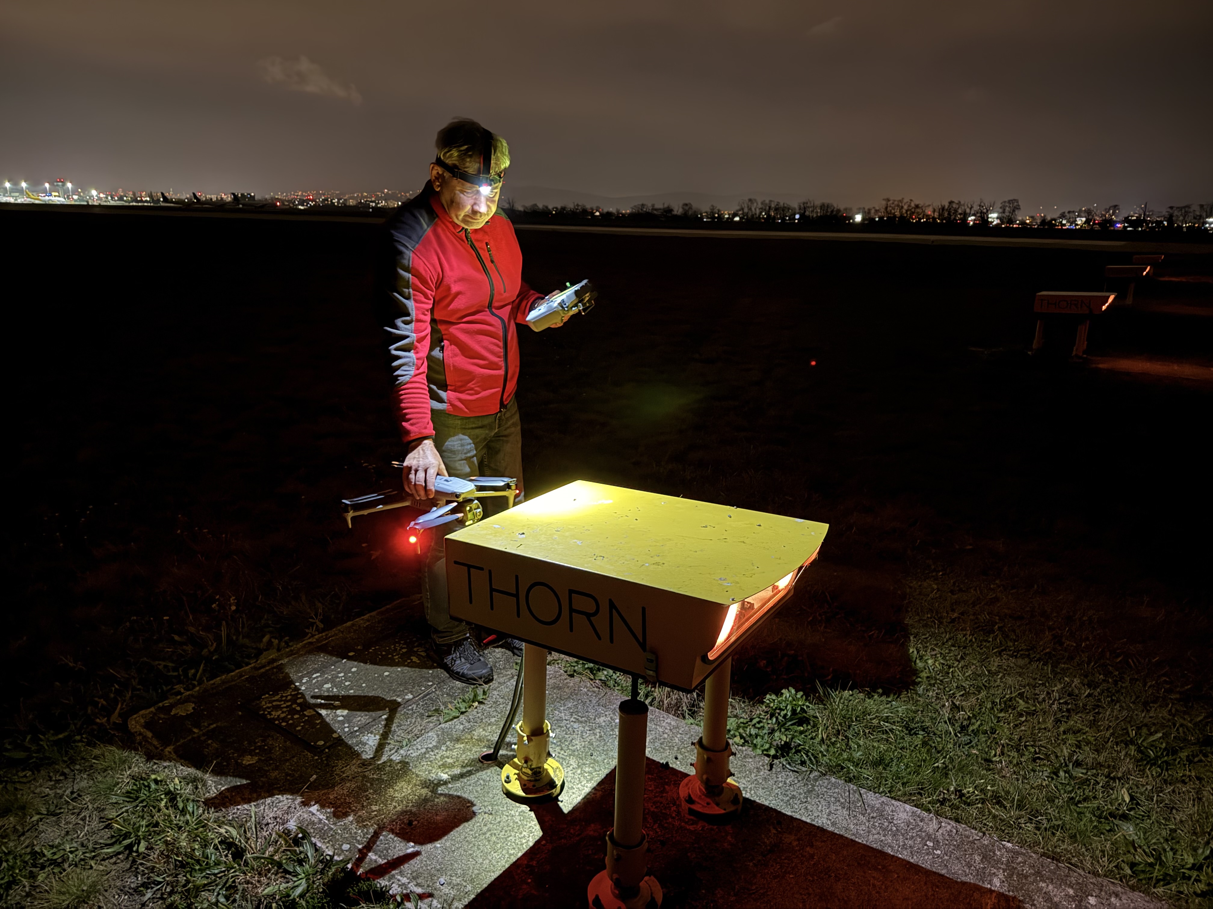
Drone PAPI inspection. Each unit's transition angle, colour, intensity balance and surveyed position measured, with a same-day protocol to ICAO, EASA…
NOV 17 2025
13 MIN
The service is in active development. The vertical passes and arcs an instrument landing system (ILS) check needs are flown today for the PAPI, with real-time kinematic (RTK) positioning. Recording the localizer and glide path signal along them is the part being built, to take over aircraft runs where your authority accepts it.
An ILS is flight inspected on a fixed cycle, with an aircraft that has to be booked, ferried and paid by the hour. The service is aimed at the runs a drone can fly as well or better, close to the antennas and to a known position.
Three outcomes carry the service. The first can be checked today. The other two depend on the receiver and the processing that are still in development, and the page says so.
Vertical profiles at fixed distances in front of the glide path antenna and arcs at fixed radii from the localizer. They are planned from the airport model and flown with RTK positioning, as for the PAPI today.
The recorded signal along each pattern turned into path angle, course alignment and displacement sensitivity. This step is in development.
Each drone result set beside the aircraft's result for the same parameter from the same period. ICAO guidance asks for this evidence before a run is dropped.
What the service does not do is certify the facility, adjust it or reach the far approach. Those stay with the flight inspection organisation, the provider’s engineers and the aircraft.
The PAPI and ILS harmonisation row is already part of the PAPI inspection , computed today against the published or flight-inspected glide path.
Each part with what it contains and its state today, including the parts that are deliberately outside the scope.
RTK-positioned vertical passes, horizontal arcs and approach descents, planned and validated in the platform and flown today for the PAPI.
Glide path and localizer antenna positions, the published path angle and reference datum height, and a measured angle from a calibration protocol.
The measured PAPI angles compared with the published or flight-inspected glide path, as a row of the PAPI protocol.
A payload that records the localizer and glide path signal with the drone's position and time.
Path angle and displacement sensitivity from vertical profiles at fixed distances.
Course alignment and displacement sensitivity from arcs across the course.
Drone and aircraft results for the same parameters side by side, for the provider and its authority.
Not included. Beyond about 1.5 km before the threshold the aircraft stays the method.
Not included. The flight inspection organisation certifies and the provider's engineers adjust.
You describe the facility, its category, how its flight inspection runs today and which runs you would most like to fly less. We agree the parameters, the windows and how the results reach your engineers and your authority. Output is a written trial scope.
The glide path and localizer antenna positions and the published glide path angle and reference datum height go into the airport model. This step is built.
Vertical profiles and arcs are computed from the antenna positions and validated against the obstacles in the model. The tower and the provider agree them, including which runs fall inside the critical areas. Output is a validated mission and confirmed windows.
The drone flies each profile and arc on RTK while the receiver records the signal. The flying is built. The receiver is in development, so on a trial it is run where it is ready and the scope says so.
The recorded signal is turned into path angle, course alignment and displacement sensitivity, each tied to the positions it was measured at. This step is in development.
The drone results land beside the aircraft's results for the same parameters, with the flight record and the raw signal retained. A disputed figure is then re-examined, not re-flown.
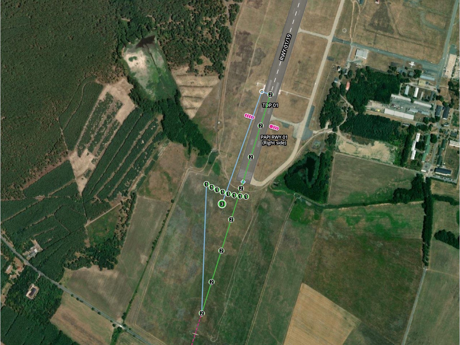
A PAPI mission on the map: a horizontal arc across the extended centre line, a vertical pass and the approach line to the runway
An instrument landing system is verified twice. Ground checks and monitors watch it all the time. A flight inspection aircraft flies it on a cycle, nominally every 180 days in ICAO’s guidance, through the signal a receiver on approach sees. The aircraft is the only method that sees the whole approach. It is also booked, ferried and paid by the hour, and much of its time near the airport goes on runs a drone can fly.
The glide path is the clearest case. Its angle is read where the signal balances. A drone can climb through it at a fixed distance from the antenna, hold the profile to RTK precision and repeat it at night. The localizer course is read on an arc at a fixed radius from the array. The guidance EUROCONTROL presented to ICAO in 2026 describes small drones flown in visual line of sight as a complementary ground maintenance tool, mature in some States. They sample the signal better than an aircraft and fly trajectories in places an aircraft cannot.
The replacement path runs through the sixth edition of ICAO Doc 8071 Volume I. It adds guidance on flying fewer flight inspection runs, mainly for the ILS, and one of its four State examples uses drones. Its first condition is a demonstrated good correlation between measurement methods. The others are stricter tolerances, a safeguarded environment, evidence of stable equipment and careful change management. A drone run that correlates with the aircraft’s run is how a run comes off the aircraft’s list.
What the drone does not replace is the rest. ICAO notes that some antenna faults and some propagation issues can only be found by flight inspection. A drone in visual line of sight does not reach the far approach. A commissioning flight inspection and the runs that look at the whole approach stay with the aircraft. The drone takes the runs close to the airport, and the aircraft flies fewer of them.
This service is in active development and is not offered yet, so there is no price, rate or quote. Four things shape a trial instead.
Four things can stop a run or weaken what it shows, and each has an owner.
A drone is more limited by wind than an aircraft, and a profile flown in gusts is a noisier profile. Runs are planned for calm windows and repeated rather than kept when the record shows the drone off its path.
Every result is only as good as the position it was measured at. RTK depends on GNSS (global navigation satellite system) signals, and GNSS interference is a known problem around some airports. The flight record carries the positioning quality of each run. A run without a fixed solution is not used.
A drone inside the ILS critical and sensitive areas can disturb the signal an aircraft on approach is using. Runs inside them are flown only in agreed windows, usually with the facility out of operational use.
A drone result replaces an aircraft run only where the authority accepts it, and that differs between States. The correlation report is built to support that decision, not to make it.
Drone PAPI inspection. Each unit's transition angle, colour, intensity balance and surveyed position measured, with a same-day protocol to ICAO, EASA…
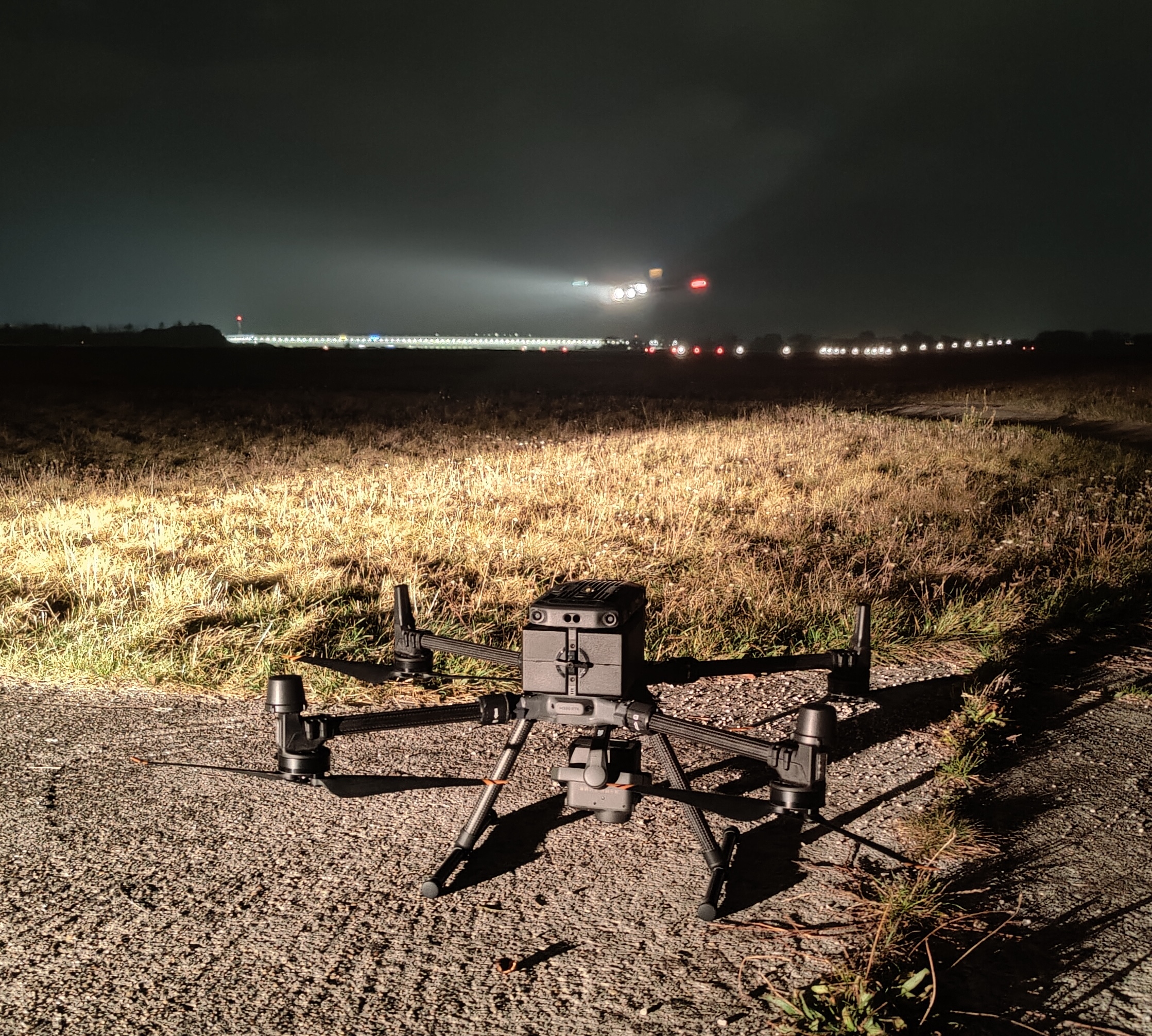
How a drone inspects an aerodrome between aircraft movements: the mission profile, RTK positioning, tower coordination, the evidence chain, and where…
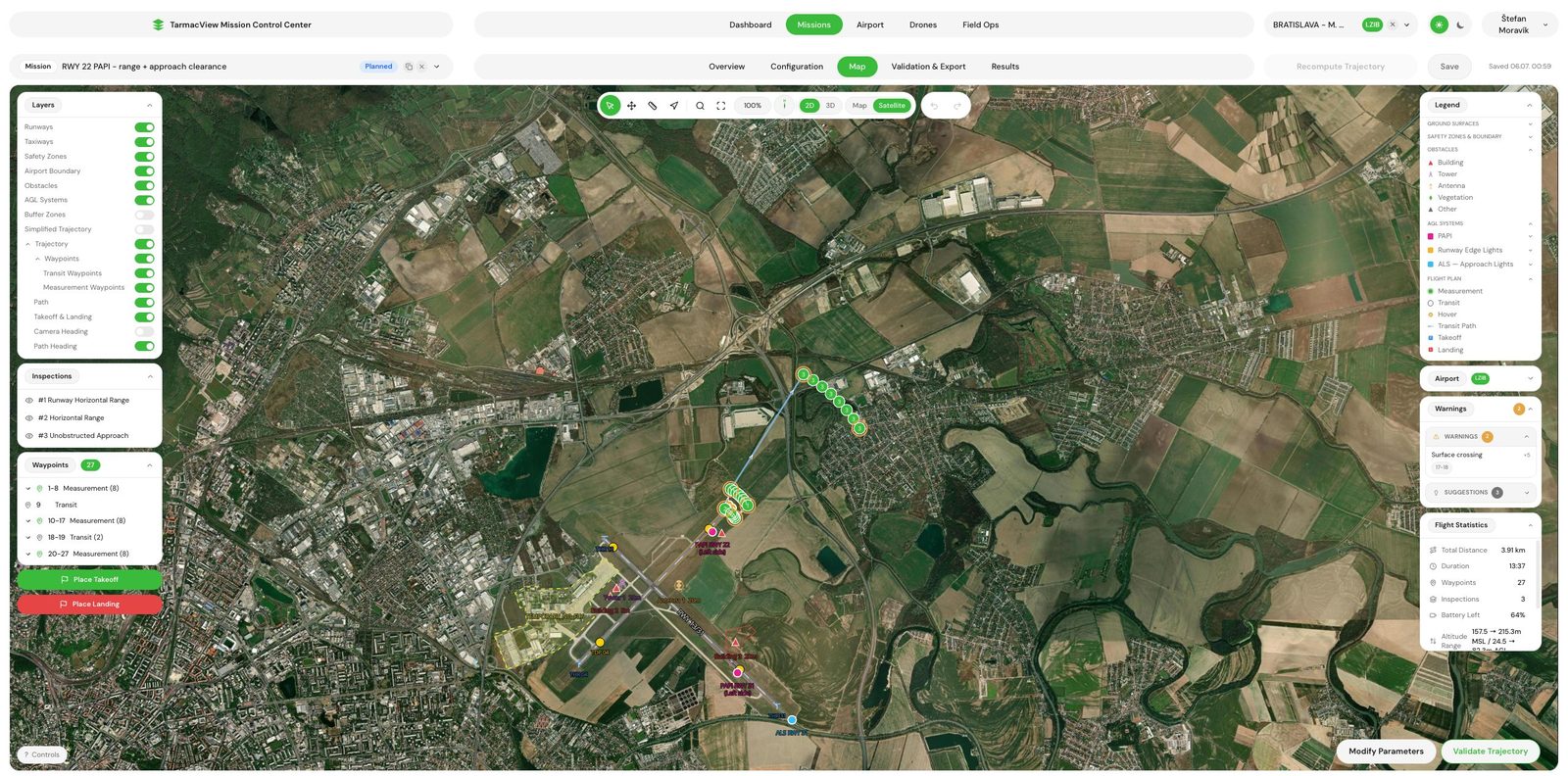
The approach obstacle clearance check is in active development and not offered yet. The approach surface warning in flight planning is already built…
This service is in active development and is not offered yet. If you run an ILS and want to follow it or take part in a correlation trial, write to us. Tell us the facility, its category and how its flight inspection runs today. Nothing is binding.