No More SD Cards: the Field Hub Explained
Footage moves off the drone over the airfield network automatically, so processing starts while the crew is still packing up instead of hours later.
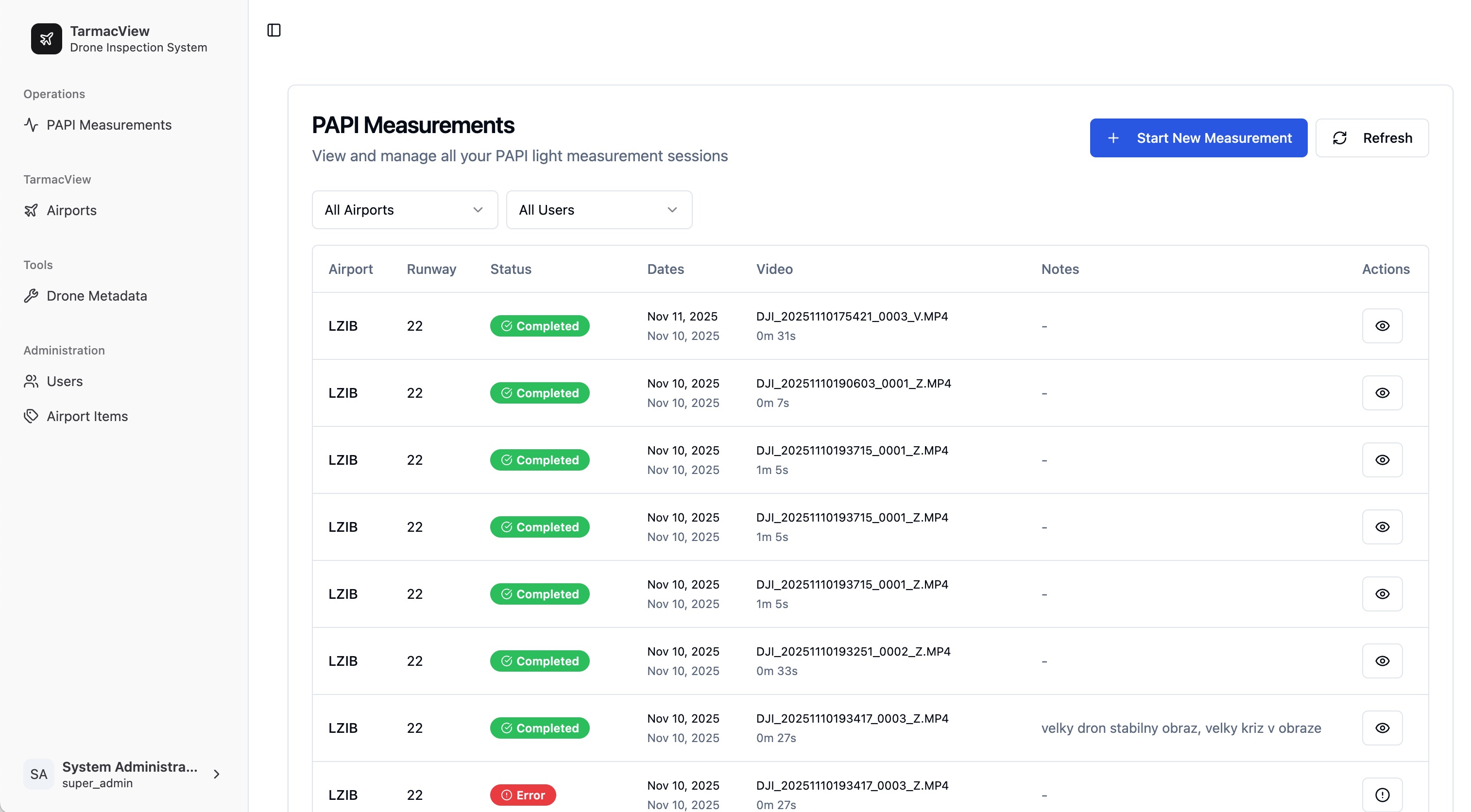 PLATFORM · MISSION VIEW
The part of the job nobody puts in the brochure
The flight is under 20 minutes. The part that used to eat the afternoon came after it: pull the card, find a laptop, copy 4K footage at whatever speed the card reader manages, discover a file did not copy cleanly, and copy it again.
None of that is measurement. It is logistics wearing a measurement costume, and it is where inspection days quietly lose their margin.
What the field hub does
The field hub sits on the airfield network and pulls footage off the drone automatically. No card comes out of the aircraft. The drone talks to the hub over the network, the hub passes the footage to the laptop, and processing starts right away.
The chain is short on purpose: drone, field hub over the airfield network, laptop. In the on-site deployment it stops there and nothing leaves the airport. In the AWS deployment the laptop uploads onward over an encrypted link after the flight.
Why it matters more than it sounds
Processing overlaps with packing up. The pipeline starts on the first transferred file, not after the last one is hand-copied. On a same-day report that is the difference between reviewing findings on site and emailing them the next morning.
One less thing to lose. A card is a small object holding the only copy of a regulatory measurement, in a windy place, in a bag, near a runway. Removing it from the workflow removes a whole class of bad afternoon.
Fewer chances to corrupt a file. Every manual copy is an opportunity for a partial transfer that looks fine until the pipeline chokes on it. Automatic transfer over the network is verifiable and repeatable.
It is one less thing to train. New operators learn the mission, not a file-handling ritual.
What it does not require
Not much. Any professional drone that captures high-resolution video works, with the best measurement quality on the DJI Enterprise platforms listed on our PAPI product page . The laptop is any modern one, with no high-end GPU needed in the field. There is no proprietary hardware in the loop.
Where it sits in the day
Plan the mission, fly it between movements, let the hub move the footage while the crew packs, review the measurements, hand the report over. The inspection stops being a data transfer exercise with a flight in the middle and goes back to being a flight.
More on the platform side of this on the technology page .
Founded by flight-inspection veterans who spent decades measuring PAPI lights for aviation authorities across Europe.
Learn more
Related terms
03 TERMSEdge Computing for Real-Time Inspection
Edge computing performs AI inference directly on the drone, vehicle, or handheld device at the point of data capture, enabling real-time defect detection, quality filtering, and decision support without uploading to the cloud. Reduces data transmission, cuts latency, and speeds response in infrastructure inspection workflows.
Automated Drone-Based Infrastructure Inspection
Automated drone inspection uses pre-programmed flight paths, computer vision, and AI analysis to survey infrastructure assets including runways, bridges, roads, and buildings with minimal human piloting. This technology produces consistent, repeatable data for Pavement Condition Index computation, defect detection, and change monitoring across civil aviation and transportation infrastructure.
Drone Flight Planning
Drone flight planning for infrastructure inspection involves designing automated flight paths (waypoint missions) with appropriate altitude, speed, overlap, gimbal angle, and camera settings to capture consistent, high-quality inspection imagery. Covers mission types, software, parameter optimization, terrain following, airspace regulations, and pre-flight procedures.
Further reading
03 ARTICLES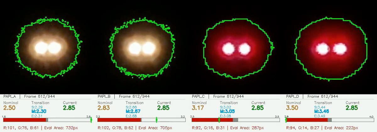
Inspecting an Airfield With No Internet At All
Capture, processing and the finished report can all happen on a laptop on the airfield, with nothing leaving the airport and no connectivity needed.
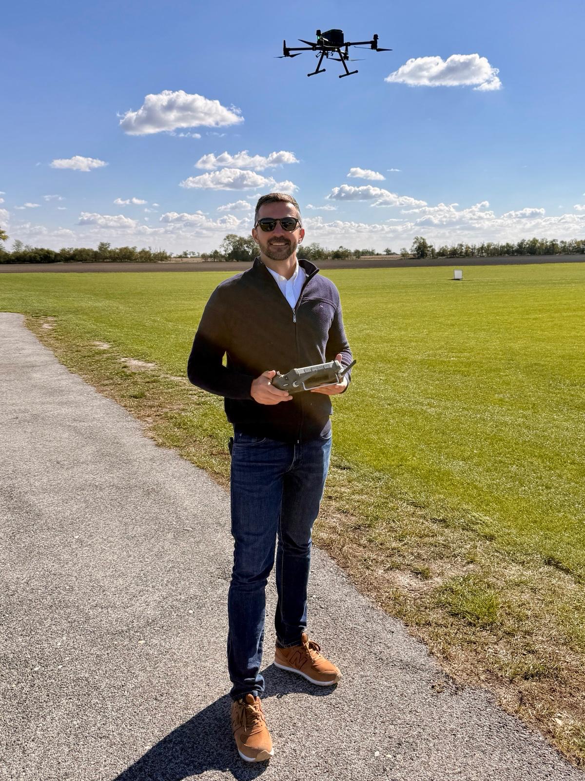
What a PAPI Inspection Actually Costs
What drives the cost of a drone-based airfield inspection, why we quote per airport instead of publishing a rate, and what the real comparison is.
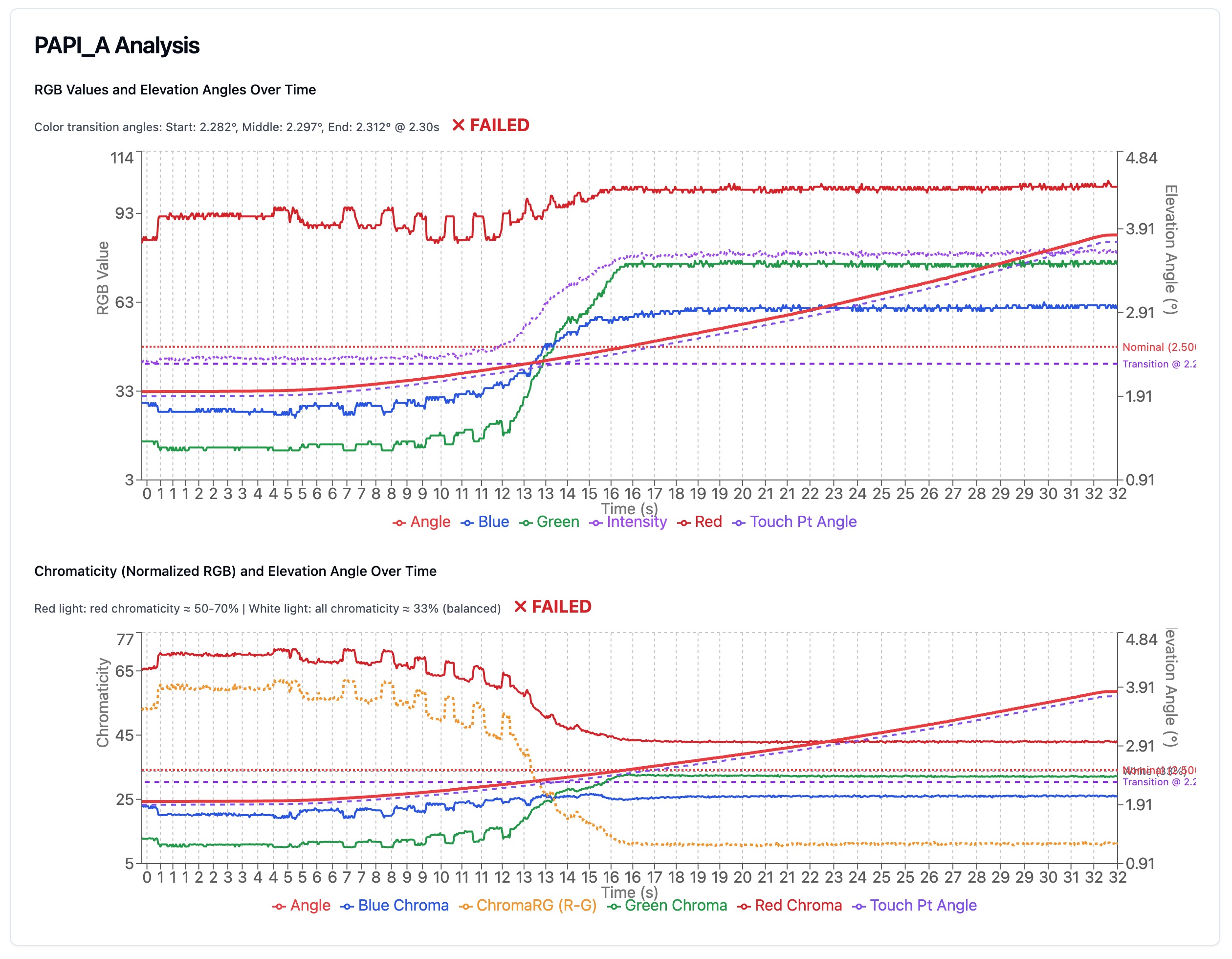
How a Drone Measurement Becomes Evidence
Why a number off a drone camera can stand up as evidence: what the sensor records, how it becomes an angle, and where the uncertainty is bounded.