What a PAPI Inspection Actually Costs
What drives the cost of a drone-based airfield inspection, why we quote per airport instead of publishing a rate, and what the real comparison is.
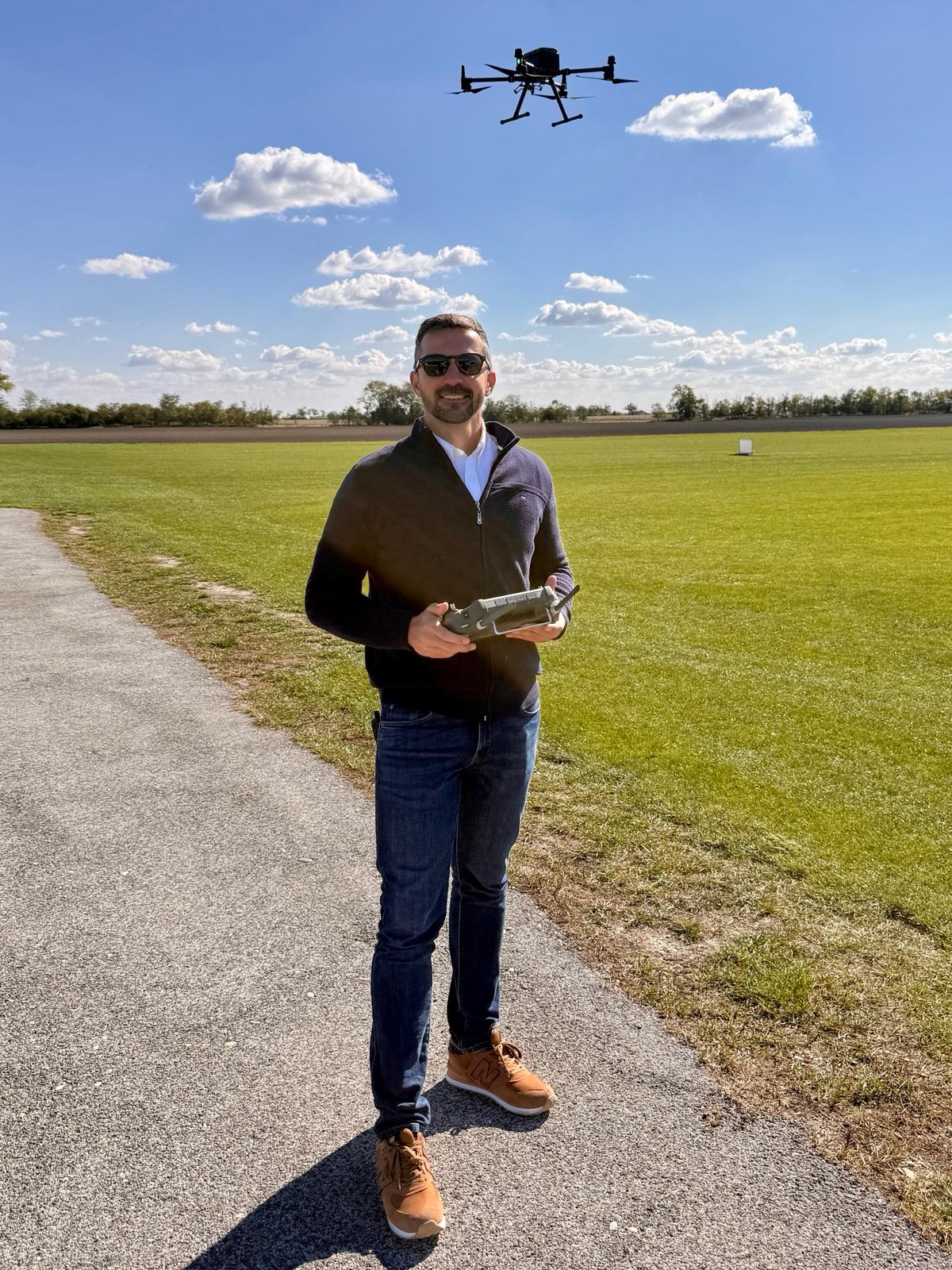 FIELD CREW · PRE-FLIGHT
The short answer
We quote it, we do not publish it. Not to be coy, but because the honest number depends on your airfield, and a published rate would be wrong for most of the airports that read it. Tell us the airport and you get a figure and a date back.
The planning bands we do put in writing, per PAPI set and per visit, are in the PAPI calibration cost guide .
What you can plan around is the shape of the visit. Our crew arrives with the drones, the cameras and the RTK positioning, and inspects the whole airfield in one go. Budget about an hour on site per runway with both directions measured. Results come back the same day.
What moves the number
How much airfield there is. The PAPI is measured per approach direction, so one runway means two sides and two runways mean four. The same is true of the approach lighting, the edge light rows and the pavement. The second runway costs less than the first, because the crew, the equipment and the travel are already on site.
Where the airport is. We operate through a network of licensed operators with airfield measurement experience, and coverage varies by region. Distance shows up as travel, not as a different inspection.
Whether anything needs re-measuring. If a unit comes back out of tolerance and your maintenance team adjusts it, the verification pass is a fraction of a full inspection. The mission plan already exists and reproduces the same flight path, so the re-check is a comparison rather than a new survey.
Why one visit is the whole airfield
It used to be normal to price a PAPI check on its own. That made sense when the PAPI was the only thing a drone could measure well, but it is no longer the case, and splitting the airfield into separate visits is the expensive way to do it.
Once a crew is on site and coordinated with your tower, the marginal cost of also flying the approach lighting, the edge light rows, the dimming steps, the obstacle protection surface and a pavement scan is small. The travel is paid, the coordination is done, the airfield is already modelled. Three separate visits over a year cost more than one visit that covers everything, and they give you three partial pictures instead of one complete one.
So that is what the service is now. Every lighting system and every paved surface, in one visit.
What you are comparing against
The honest comparison is not against another drone service. It is against a calibration aircraft, which is what most airports have always used.
An aircraft-based check does not close your runway. It flies approaches with the runway open, and in Central Europe it measures the PAPI and the runway lights together in about half an hour of flight time. What it costs you is the transit: ferry to your aerodrome is charged in flight hours at sixty to seventy percent of the measurement rate, which is why those checks are scheduled onto a visit that is already happening for the ILS or the VOR.
So the comparison depends on your field. If a calibration flight is already on your calendar, the aircraft measures the indicators and the runway lights cheaply and you should buy a drone survey for what that half hour does not produce: the approach lighting unit by unit, the arrays rather than a sample, the markings, the pavement, and a record that reproduces next year. If no calibration flight is scheduled, the aircraft arrives carrying its transit both ways and the drone is simply cheaper.
What arrives at the end
A report in your authority’s format, built to ICAO, EASA or FAA, with the measured value for every unit, the exact adjustment for anything outside tolerance, and the photo and video evidence behind each measurement. Formatted for submission, not for interpretation.
See what a visit covers on the pricing page , or tell us about your airfield and we will quote the actual number.
Founded by flight-inspection veterans who spent decades measuring PAPI lights for aviation authorities across Europe.
Learn more
Related terms
03 TERMSAutomated Drone-Based Infrastructure Inspection
Automated drone inspection uses pre-programmed flight paths, computer vision, and AI analysis to survey infrastructure assets including runways, bridges, roads, and buildings with minimal human piloting. This technology produces consistent, repeatable data for Pavement Condition Index computation, defect detection, and change monitoring across civil aviation and transportation infrastructure.
A-PAPI Abbreviated Approach Path Indicator
A-PAPI (Abbreviated Precision Approach Path Indicator) is a two-light visual glide path indicator system installed at airports to help pilots maintain the correct approach angle during landing, especially where space, cost, or operational constraints prevent installation of a full PAPI.
Drone Flight Planning
Drone flight planning for infrastructure inspection involves designing automated flight paths (waypoint missions) with appropriate altitude, speed, overlap, gimbal angle, and camera settings to capture consistent, high-quality inspection imagery. Covers mission types, software, parameter optimization, terrain following, airspace regulations, and pre-flight procedures.
Further reading
03 ARTICLES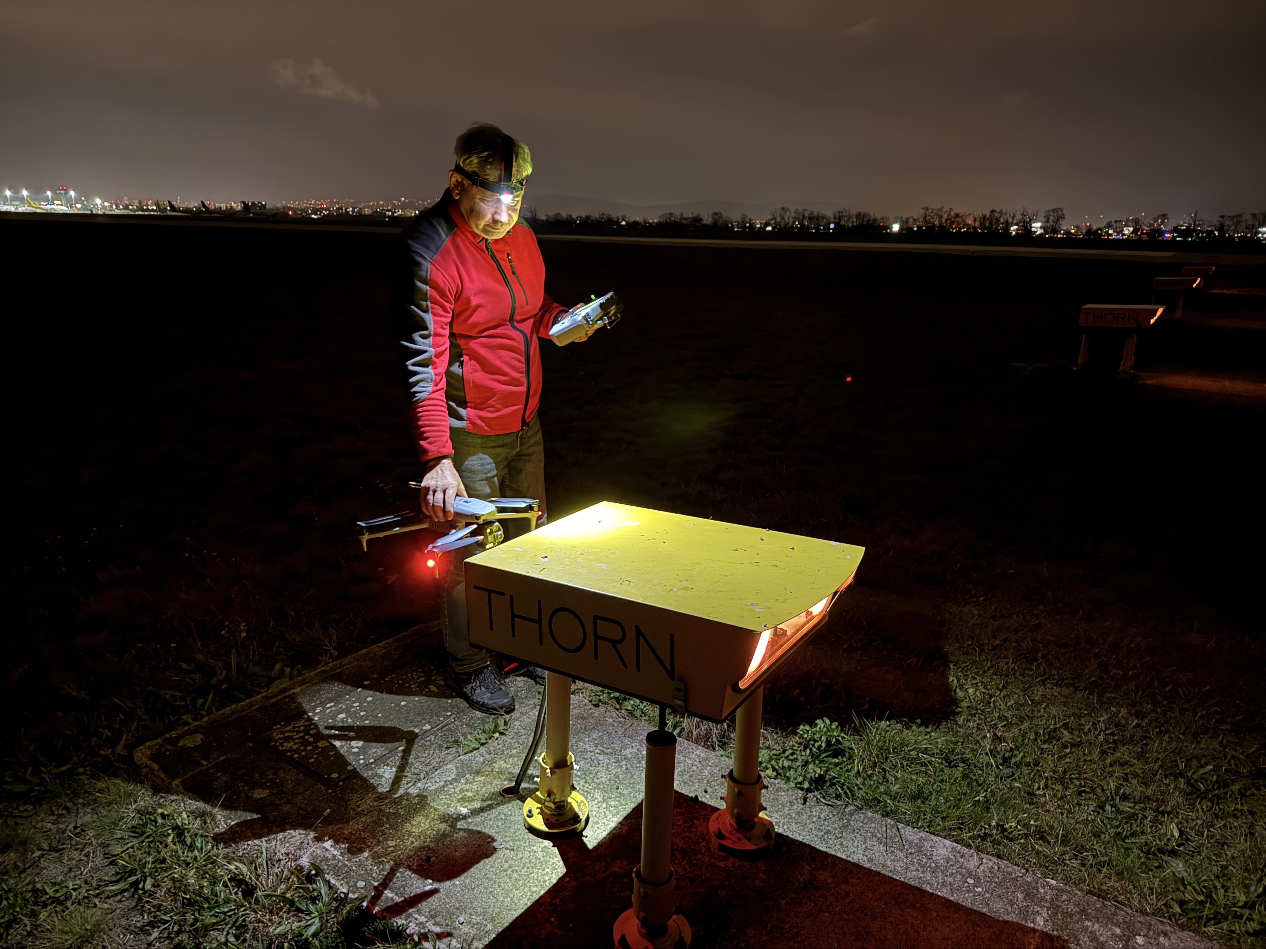
PAPI Lights Inspection and Calibration Check by Drone
Drone PAPI inspection. Each unit's transition angle, colour, intensity balance and surveyed position measured, with a same-day protocol to ICAO, EASA…
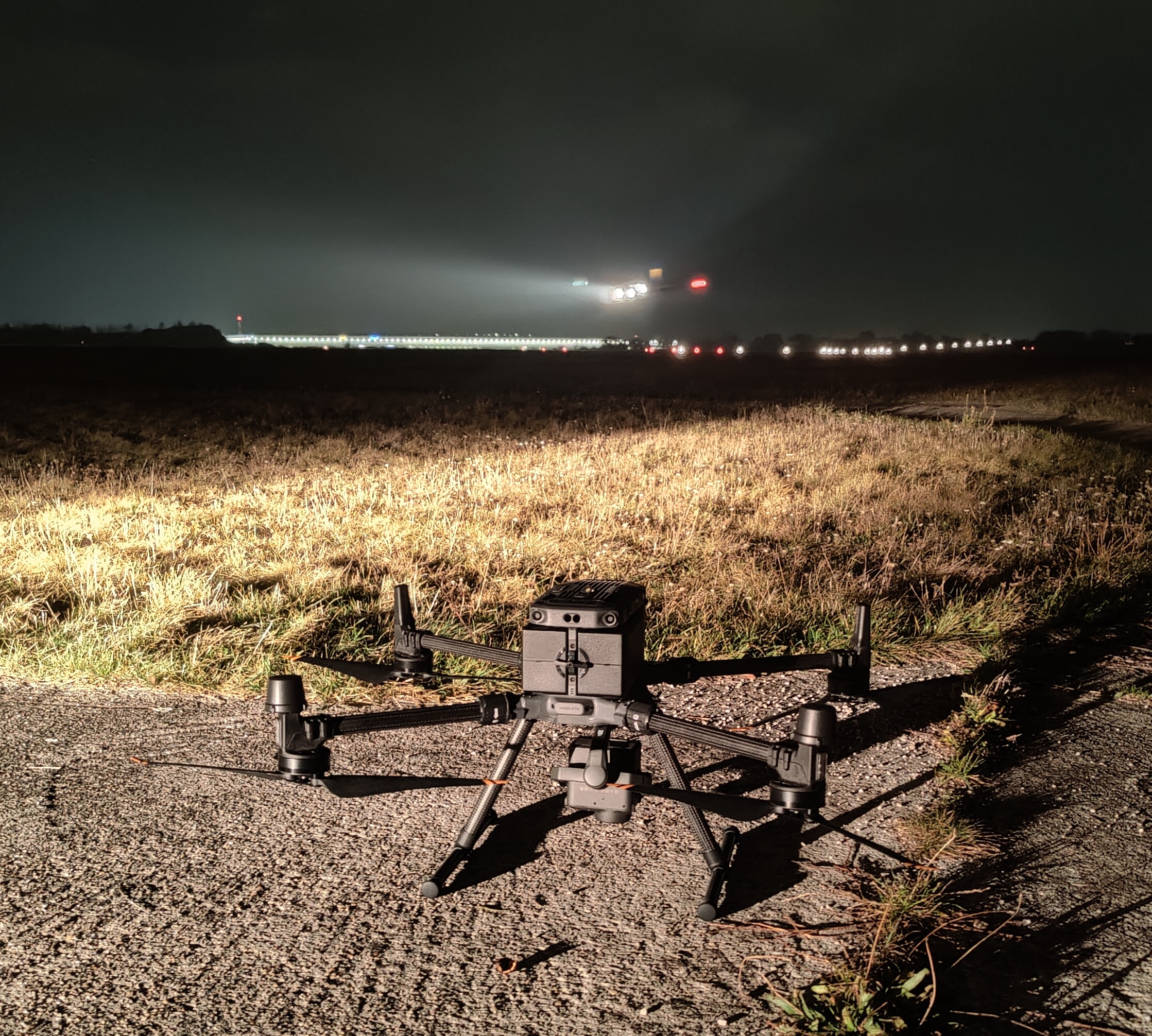
Drone Airport Inspection: Method and Limits
How a drone inspects an aerodrome between aircraft movements: the mission profile, RTK positioning, tower coordination, the evidence chain, and where…
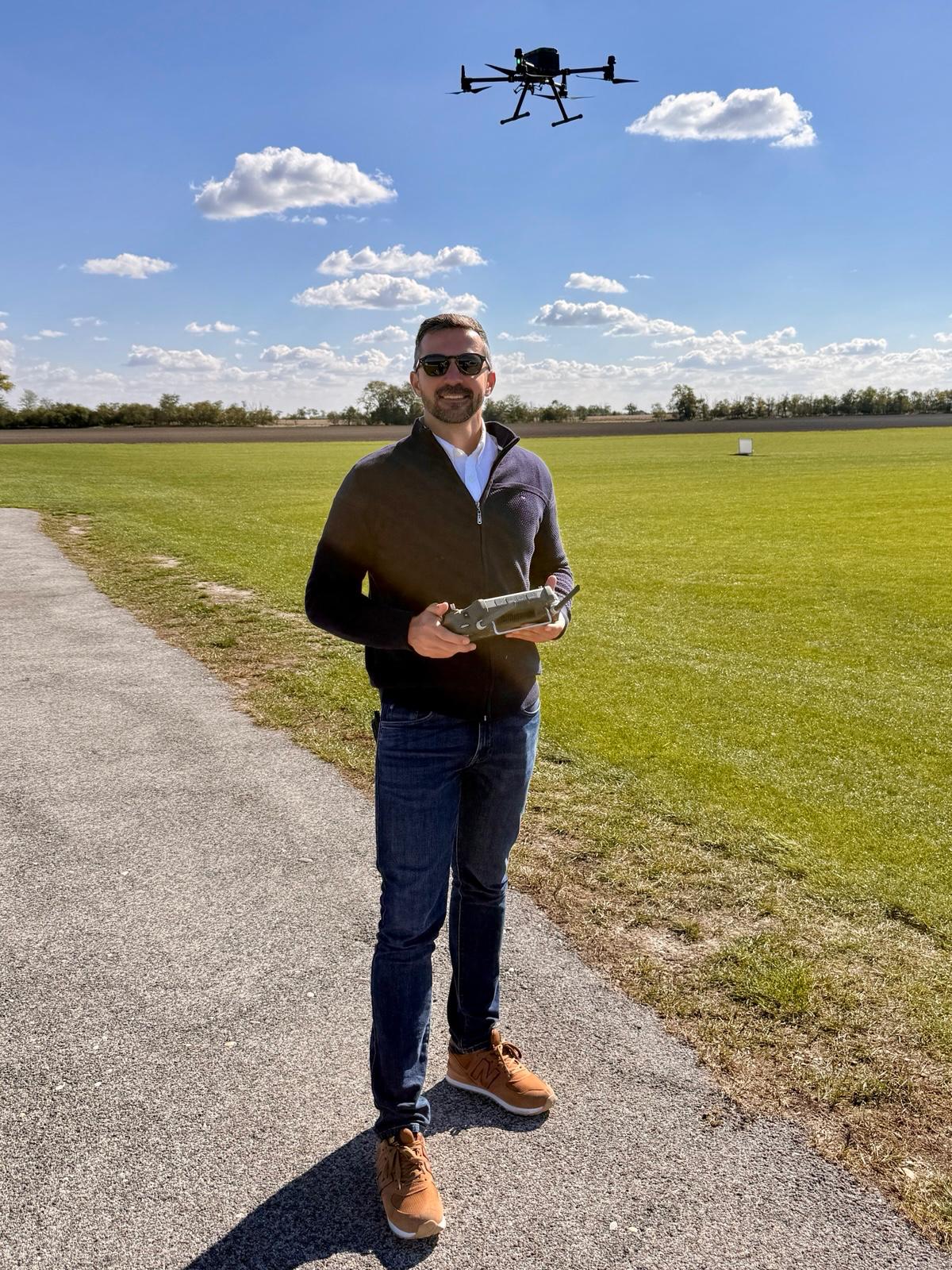
PAPI Calibration Cost in Central Europe
What PAPI calibration costs in Central Europe: the aircraft flight-hour rate, when ferry is charged, why the lights ride along with the ILS…